Distance to Turkey Branch, Alabama

Calculating Your Route
Just a moment while we process your request...
Location Information
-
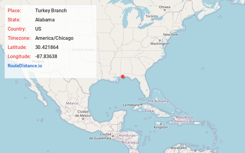
Full AddressTurkey Branch, AL 36532
-
Coordinates30.421864, -87.8363798
-
LocationAlabama , US
-
TimezoneAmerica/Chicago
-
Current Local Time4:42:58 PM America/ChicagoWednesday, June 18, 2025
-
Page Views0
Nearby Places
Found 10 places within 50 miles

Yupon
1.5 mi
2.4 km
Yupon, AL 36535
Get directions
River Park
2.5 mi
4.0 km
River Park, AL 36532
Get directions

Magnolia Springs
3.9 mi
6.3 km
Magnolia Springs, AL
Get directions

Point Clear
6.1 mi
9.8 km
Point Clear, AL 36532
Get directions
Battles Wharf
7.4 mi
11.9 km
Battles Wharf, Point Clear, AL 36532
Get directions
Loyola Villa
7.6 mi
12.2 km
Loyola Villa, Point Clear, AL 36532
Get directions

Fairhope
8.0 mi
12.9 km
Fairhope, AL 36532
Get directions

Foley
9.2 mi
14.8 km
Foley, AL
Get directions

Summerdale
9.3 mi
15.0 km
Summerdale, AL
Get directions

Bon Secour
9.7 mi
15.6 km
Bon Secour, AL
Get directions
Location Links
Local Weather
Weather Information
Coming soon!
Location Map
Static map view of Turkey Branch, Alabama
Browse Places by Distance
Places within specific distances from Turkey Branch
Short Distances
Long Distances
Click any distance to see all places within that range from Turkey Branch. Distances shown in miles (1 mile ≈ 1.61 kilometers).