Distance to Battle Run, Kentucky

Calculating Your Route
Just a moment while we process your request...
Location Information
-
Full AddressBattle Run, KY 41041
-
Coordinates38.349799, -83.8440885
-
LocationKentucky , US
-
TimezoneAmerica/New_York
-
Current Local Time3:19:25 PM America/New_YorkWednesday, June 18, 2025
-
Page Views0
Nearby Places
Found 10 places within 50 miles

Upper Blue Licks
1.4 mi
2.3 km
Upper Blue Licks, KY 40350
Get directions
Elizaville
4.9 mi
7.9 km
Elizaville, KY
Get directions
Sherburne
5.2 mi
8.4 km
Sherburne, KY 41041
Get directions
Ewing
5.5 mi
8.9 km
Ewing, KY 41039
Get directions
Pleasant Valley
5.5 mi
8.9 km
Pleasant Valley, KY 40311
Get directions
Myers
5.9 mi
9.5 km
Myers, KY 40311
Get directions
Nepton
5.9 mi
9.5 km
Nepton, KY 41041
Get directions
Moorefield
7.1 mi
11.4 km
Moorefield, KY 40311
Get directions
Pebble
7.3 mi
11.7 km
Pebble, KY 40360
Get directions
Bethel
7.4 mi
11.9 km
Bethel, KY 40374
Get directions
Location Links
Local Weather
Weather Information
Coming soon!
Location Map
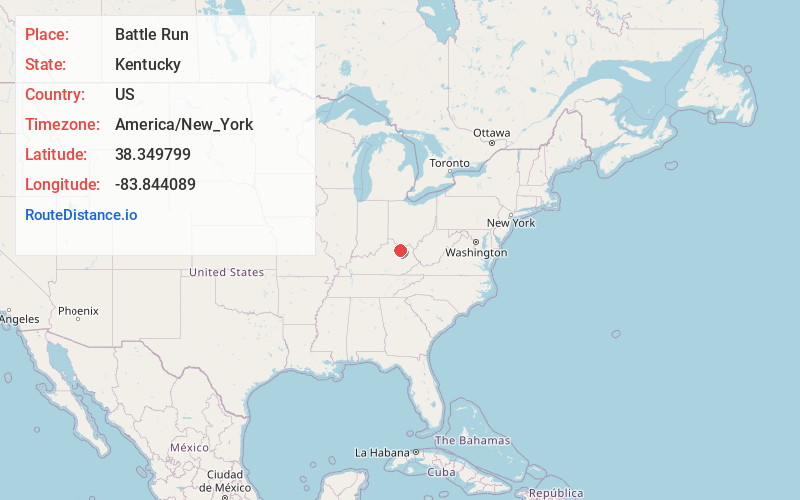
Static map view of Battle Run, Kentucky
Browse Places by Distance
Places within specific distances from Battle Run
Short Distances
Long Distances
Click any distance to see all places within that range from Battle Run. Distances shown in miles (1 mile ≈ 1.61 kilometers).