Distance to Myers, Kentucky

Calculating Your Route
Just a moment while we process your request...
Location Information
-
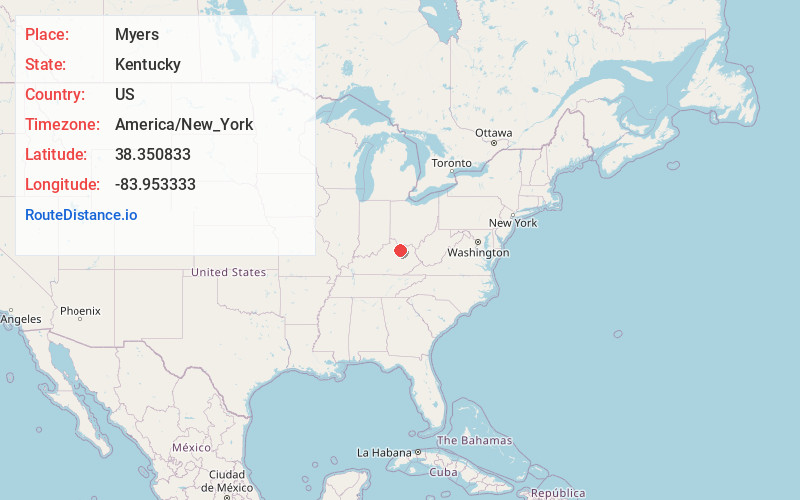
Full AddressMyers, KY 40311
-
Coordinates38.350833, -83.953333
-
LocationMyers , Kentucky , US
-
TimezoneAmerica/New_York
-
Current Local Time1:04:06 AM America/New_YorkSunday, June 22, 2025
-
Page Views0
About Myers
Myers is an unincorporated community in Nicholas County, Kentucky, United States. It lies along Route 32 northeast of the city of Carlisle, the county seat of Nicholas County. Its elevation is 627 feet.
Nearby Places
Found 10 places within 50 miles

Pleasant Valley
2.1 mi
3.4 km
Pleasant Valley, KY 40311
Get directions
Ellisville
4.6 mi
7.4 km
Ellisville, KY 40311
Get directions

Carlisle
4.8 mi
7.7 km
Carlisle, KY 40311
Get directions
Upper Blue Licks
5.4 mi
8.7 km
Upper Blue Licks, KY 40350
Get directions
Ewing
7.2 mi
11.6 km
Ewing, KY 41039
Get directions
Elizaville
8.4 mi
13.5 km
Elizaville, KY
Get directions
Bethel
8.7 mi
14.0 km
Bethel, KY 40374
Get directions
Nepton
8.7 mi
14.0 km
Nepton, KY 41041
Get directions
Jackstown
9.3 mi
15.0 km
Jackstown, KY 40311
Get directions
Piqua
9.4 mi
15.1 km
Piqua, KY 41064
Get directions
Location Links
Local Weather
Weather Information
Coming soon!
Location Map
Static map view of Myers, Kentucky
Browse Places by Distance
Places within specific distances from Myers
Short Distances
Long Distances
Click any distance to see all places within that range from Myers. Distances shown in miles (1 mile ≈ 1.61 kilometers).