Distance to Beaver Creek, Illinois

Calculating Your Route
Just a moment while we process your request...
Location Information
-
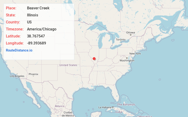
Full AddressBeaver Creek, IL 62246
-
Coordinates38.7675474, -89.3936892
-
LocationBeaver Creek , Illinois , US
-
TimezoneAmerica/Chicago
-
Current Local Time3:58:54 PM America/ChicagoSunday, May 25, 2025
-
Page Views0
About Beaver Creek
Beaver Creek, also known as Wisetown, is an unincorporated community in southern Bond County, Illinois, United States. Beaver Creek is located just south of Illinois Route 143 in Mills Township. Beaver Creek flows past one half mile west of the community.


Nearby Places
Found 10 places within 50 miles

Dudleyville
4.1 mi
6.6 km
Dudleyville, IL 62246
Get directions
Marydale
5.0 mi
8.0 km
Marydale, Irishtown Township, IL 62231
Get directions
Tamalco
5.5 mi
8.9 km
Tamalco, IL 62253
Get directions
Hookdale
6.0 mi
9.7 km
Hookdale, IL 62284
Get directions
Keyesport
6.7 mi
10.8 km
Keyesport, IL 62253
Get directions
Stubblefield
6.8 mi
10.9 km
Stubblefield, IL 62246
Get directions

Jamestown
6.9 mi
11.1 km
Jamestown, IL 62275
Get directions
Pleasant Mound
8.6 mi
13.8 km
Pleasant Mound, IL 62284
Get directions

Greenville
8.7 mi
14.0 km
Greenville, IL
Get directions

Pocahontas
8.9 mi
14.3 km
Pocahontas, IL 62275
Get directions
Location Links
Local Weather
Weather Information
Coming soon!
Location Map
Static map view of Beaver Creek, Illinois
Browse Places by Distance
Places within specific distances from Beaver Creek
Short Distances
Long Distances
Click any distance to see all places within that range from Beaver Creek. Distances shown in miles (1 mile ≈ 1.61 kilometers).