Distance to Belfast, California

Calculating Your Route
Just a moment while we process your request...
Location Information
-
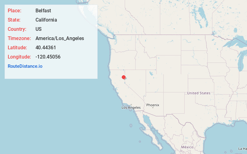
Full AddressBelfast, CA 96117
-
Coordinates40.44361, -120.45056
-
LocationBelfast , California , US
-
TimezoneAmerica/Los_Angeles
-
Current Local Time2:24:28 AM America/Los_AngelesSaturday, June 21, 2025
-
Page Views0
About Belfast
Belfast is an unincorporated area of Lassen County, California. It is located 5.5 miles northwest of Litchfield, at an elevation of 4134 feet.
The town was founded by Capt. Charles A. Merrill in 1880.
Nearby Places
Found 10 places within 50 miles

Litchfield
5.5 mi
8.9 km
Litchfield, CA
Get directions

Standish
5.6 mi
9.0 km
Standish, CA 96130
Get directions

Johnstonville
8.6 mi
13.8 km
Johnstonville, CA 96130
Get directions
Viewland
9.1 mi
14.6 km
Viewland, CA
Get directions
Karlo
10.3 mi
16.6 km
Karlo, CA 96117
Get directions

Susanville
10.8 mi
17.4 km
Susanville, CA
Get directions
Horse Lake Mountain
11.4 mi
18.3 km
Horse Lake Mountain, California 96130
Get directions

Janesville
12.0 mi
19.3 km
Janesville, CA
Get directions

Wendel
13.2 mi
21.2 km
Wendel, CA 96136
Get directions
Shumway
17.6 mi
28.3 km
Shumway, CA 96130
Get directions
Location Links
Local Weather
Weather Information
Coming soon!
Location Map
Static map view of Belfast, California
Browse Places by Distance
Places within specific distances from Belfast
Short Distances
Long Distances
Click any distance to see all places within that range from Belfast. Distances shown in miles (1 mile ≈ 1.61 kilometers).