Distance to Bell Gardens, California

Calculating Your Route
Just a moment while we process your request...
Location Information
-
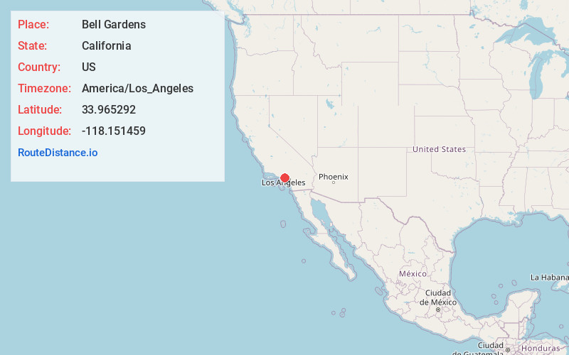
Full AddressBell Gardens, CA 90201
-
Coordinates33.9652918, -118.1514588
-
LocationBell Gardens , California , US
-
TimezoneAmerica/Los_Angeles
-
Current Local Time4:42:52 PM America/Los_AngelesSaturday, June 7, 2025
-
Website
-
Page Views0
About Bell Gardens
Bell Gardens is a city in the U.S. state of California in the Los Angeles metropolitan area. Located in Los Angeles County, the city's population was 39,501 at the 2020 census. Bell Gardens is part of the Gateway Cities Region, a largely urbanized region located in southeastern Los Angeles County.


Nearby Places
Found 10 places within 50 miles

Downey
2.0 mi
3.2 km
Downey, CA
Get directions

South Gate
3.5 mi
5.6 km
South Gate, CA 90280
Get directions

East Los Angeles
4.0 mi
6.4 km
East Los Angeles, CA
Get directions

Lynwood
4.2 mi
6.8 km
Lynwood, CA
Get directions

Montebello
4.2 mi
6.8 km
Montebello, CA
Get directions

Paramount
5.3 mi
8.5 km
Paramount, CA
Get directions

Norwalk
5.6 mi
9.0 km
Norwalk, CA 90650
Get directions

Bellflower
6.1 mi
9.8 km
Bellflower, CA 90706
Get directions

Compton
6.4 mi
10.3 km
Compton, CA
Get directions

South Whittier
6.4 mi
10.3 km
South Whittier, CA
Get directions
Location Links
Local Weather
Weather Information
Coming soon!
Location Map
Static map view of Bell Gardens, California
Browse Places by Distance
Places within specific distances from Bell Gardens
Short Distances
Long Distances
Click any distance to see all places within that range from Bell Gardens. Distances shown in miles (1 mile ≈ 1.61 kilometers).