Distance to Belle Alliance, Louisiana

Calculating Your Route
Just a moment while we process your request...
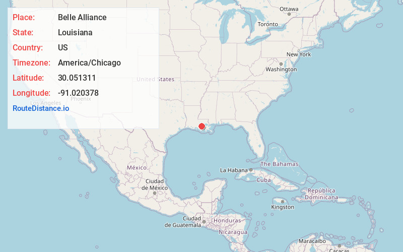
Location Information
-
Full AddressBelle Alliance, LA 70341
-
Coordinates30.0513111, -91.0203776
-
LocationBelle Alliance , Louisiana , US
-
TimezoneAmerica/Chicago
-
Current Local Time10:33:58 AM America/ChicagoWednesday, June 4, 2025
-
Page Views0
About Belle Alliance
Belle Alliance is an unincorporated community in Assumption Parish, Louisiana, United States. It is part of the Pierre Part Micropolitan Statistical Area.
Nearby Places
Found 10 places within 50 miles

Belle Rose
1.3 mi
2.1 km
Belle Rose, LA
Get directions

Brulie Maurin
1.9 mi
3.1 km
Brulie Maurin, LA 70341
Get directions
Kessler
2.6 mi
4.2 km
Kessler, LA 70341
Get directions
Sweet Home
2.8 mi
4.5 km
Sweet Home, LA 70341
Get directions
Palo Alto
3.0 mi
4.8 km
Palo Alto, LA 70346
Get directions
Barton
3.2 mi
5.1 km
Barton, LA 70346
Get directions

Donaldsonville
3.8 mi
6.1 km
Donaldsonville, LA 70346
Get directions
Smoke Bend
4.0 mi
6.4 km
Smoke Bend, LA 70346
Get directions
Magnolia
4.2 mi
6.8 km
Magnolia, LA 70390
Get directions
Plattenville
4.3 mi
6.9 km
Plattenville, LA
Get directions
Location Links
Local Weather
Weather Information
Coming soon!
Location Map
Static map view of Belle Alliance, Louisiana
Browse Places by Distance
Places within specific distances from Belle Alliance
Short Distances
Long Distances
Click any distance to see all places within that range from Belle Alliance. Distances shown in miles (1 mile ≈ 1.61 kilometers).