Distance to Bellingham, Massachusetts

Calculating Your Route
Just a moment while we process your request...
Location Information
-
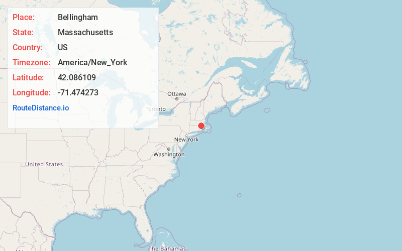
Full AddressBellingham, MA 02019
-
Coordinates42.0861089, -71.4742726
-
LocationBellingham , Massachusetts , US
-
TimezoneAmerica/New_York
-
Current Local Time4:41:11 PM America/New_YorkThursday, July 3, 2025
-
Website
-
Page Views0
About Bellingham
Bellingham is a town in Norfolk County, Massachusetts, United States. The population was 16,945 at the 2020 census. The town sits on the southwestern fringe of Metropolitan Boston, along the rapidly growing "outer belt" that is Interstate 495.

Nearby Places
Found 10 places within 50 miles

Franklin
4.0 mi
6.4 km
Franklin, MA 02038
Get directions

Milford
4.5 mi
7.2 km
Milford, MA 01757
Get directions

Woonsocket
6.1 mi
9.8 km
Woonsocket, RI 02895
Get directions

Cumberland
8.6 mi
13.8 km
Cumberland, RI
Get directions

Hopkinton
10.1 mi
16.3 km
Hopkinton, MA 01748
Get directions

Lincoln
10.5 mi
16.9 km
Lincoln, RI
Get directions

Foxborough
11.6 mi
18.7 km
Foxborough, MA
Get directions

Smithfield
12.0 mi
19.3 km
Smithfield, RI
Get directions

Ashland
12.1 mi
19.5 km
Ashland, MA
Get directions

Mansfield
13.6 mi
21.9 km
Mansfield, MA
Get directions
Location Links
Local Weather
Weather Information
Coming soon!
Location Map
Static map view of Bellingham, Massachusetts
Browse Places by Distance
Places within specific distances from Bellingham
Short Distances
Long Distances
Click any distance to see all places within that range from Bellingham. Distances shown in miles (1 mile ≈ 1.61 kilometers).