Distance to Bellvue, Oklahoma

Calculating Your Route
Just a moment while we process your request...
Location Information
-
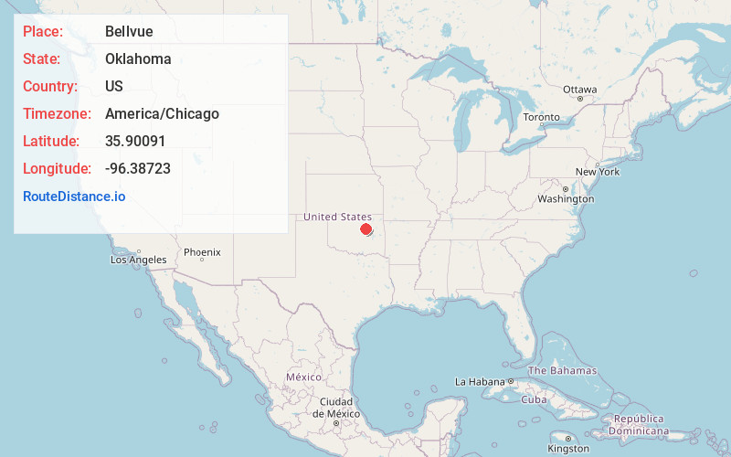
Full AddressBellvue, OK 74010
-
Coordinates35.9009104, -96.3872302
-
LocationOklahoma , US
-
TimezoneAmerica/Chicago
-
Current Local Time12:27:22 AM America/ChicagoMonday, June 30, 2025
-
Page Views0
Nearby Places
Found 10 places within 50 miles

Bristow
4.9 mi
7.9 km
Bristow, OK 74010
Get directions

Pulaski
6.7 mi
10.8 km
Pulaski, OK 74010
Get directions

Depew
9.5 mi
15.3 km
Depew, OK
Get directions
Tabor
9.7 mi
15.6 km
Tabor, Slick, OK 74010
Get directions

Kellyville
10.2 mi
16.4 km
Kellyville, OK
Get directions

Olive
10.2 mi
16.4 km
Olive, OK 74030
Get directions

Slick
10.9 mi
17.5 km
Slick, OK
Get directions

Shamrock
11.0 mi
17.7 km
Shamrock, OK
Get directions

Lawrence Creek
12.9 mi
20.8 km
Lawrence Creek, OK 74044
Get directions

Drumright
13.4 mi
21.6 km
Drumright, OK 74030
Get directions
Location Links
Local Weather
Weather Information
Coming soon!
Location Map
Static map view of Bellvue, Oklahoma
Browse Places by Distance
Places within specific distances from Bellvue
Short Distances
Long Distances
Click any distance to see all places within that range from Bellvue. Distances shown in miles (1 mile ≈ 1.61 kilometers).