Distance to Ben Lomond, California

Calculating Your Route
Just a moment while we process your request...
Location Information
-
Full AddressBen Lomond, CA
-
Coordinates37.0891143, -122.0863528
-
LocationBen Lomond , California , US
-
TimezoneAmerica/Los_Angeles
-
Current Local Time6:24:52 AM America/Los_AngelesThursday, June 12, 2025
-
Page Views0
About Ben Lomond
Ben Lomond is a census-designated place in Santa Cruz County, California, United States, and also the name of the mountain to the west. The CDP includes the communities of Glen Arbor and Brackney. The population was 6,337 at the 2020 census.


Nearby Places
Found 10 places within 50 miles

Santa Cruz
8.6 mi
13.8 km
Santa Cruz, CA
Get directions

Soquel
10.0 mi
16.1 km
Soquel, CA
Get directions

Capitola
10.8 mi
17.4 km
Capitola, CA
Get directions

Los Gatos
12.2 mi
19.6 km
Los Gatos, CA
Get directions

Saratoga
13.2 mi
21.2 km
Saratoga, CA
Get directions

Rio Del Mar
14.3 mi
23.0 km
Rio Del Mar, CA
Get directions

Campbell
15.6 mi
25.1 km
Campbell, CA
Get directions

Cupertino
16.4 mi
26.4 km
Cupertino, CA
Get directions

Sunnyvale
19.5 mi
31.4 km
Sunnyvale, CA
Get directions

Santa Clara
19.7 mi
31.7 km
Santa Clara, CA
Get directions
Location Links
Local Weather
Weather Information
Coming soon!
Location Map
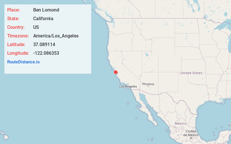
Static map view of Ben Lomond, California
Browse Places by Distance
Places within specific distances from Ben Lomond
Short Distances
Long Distances
Click any distance to see all places within that range from Ben Lomond. Distances shown in miles (1 mile ≈ 1.61 kilometers).