Distance to Bentley, Oklahoma

Calculating Your Route
Just a moment while we process your request...
Location Information
-
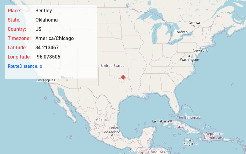
Full AddressBentley, OK 74525
-
Coordinates34.213467, -96.078506
-
LocationBentley , Oklahoma , US
-
TimezoneAmerica/Chicago
-
Current Local Time10:53:18 PM America/ChicagoFriday, June 13, 2025
-
Page Views0
About Bentley
Bentley is an unincorporated community in Atoka County, Oklahoma, United States. It lies east of the county seat of Atoka, off Highway 3.
A post office was established at Bentley, Indian Territory on June 1, 1903. It was named for Alva Bentley, a territorial-era educator.

Nearby Places
Found 10 places within 50 miles

Lane
7.8 mi
12.6 km
Lane, OK
Get directions

Caney
7.9 mi
12.7 km
Caney, OK
Get directions
Tushka
9.0 mi
14.5 km
Tushka, OK 74525
Get directions

Caddo
12.1 mi
19.5 km
Caddo, OK 74729
Get directions

Atoka
12.3 mi
19.8 km
Atoka, OK 74525
Get directions
Bokchito
14.0 mi
22.5 km
Bokchito, OK 74726
Get directions

Bennington
14.6 mi
23.5 km
Bennington, OK 74723
Get directions

Kenefic
16.8 mi
27.0 km
Kenefic, OK 74748
Get directions
Blue
17.4 mi
28.0 km
Blue, OK
Get directions

Stringtown
17.6 mi
28.3 km
Stringtown, OK
Get directions
Location Links
Local Weather
Weather Information
Coming soon!
Location Map
Static map view of Bentley, Oklahoma
Browse Places by Distance
Places within specific distances from Bentley
Short Distances
Long Distances
Click any distance to see all places within that range from Bentley. Distances shown in miles (1 mile ≈ 1.61 kilometers).