Distance to Blue, Oklahoma

Calculating Your Route
Just a moment while we process your request...
Location Information
-
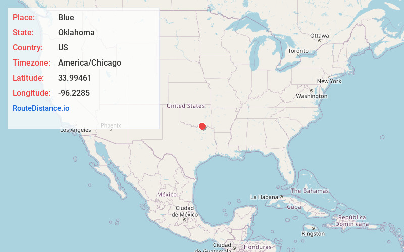
Full AddressBlue, OK
-
Coordinates33.99461, -96.2285
-
LocationBlue , Oklahoma , US
-
TimezoneAmerica/Chicago
-
Current Local Time6:33:23 PM America/ChicagoMonday, June 2, 2025
-
Page Views0
About Blue
Blue is an unincorporated community and census-designated place in Bryan County, Oklahoma, United States. It is located 9 miles east of Durant, the county seat. It is named after the nearby Blue River. As of the 2010 census it had a population of 195. Its post office was established on July 1, 1874.
Nearby Places
Found 10 places within 50 miles

Bokchito
5.2 mi
8.4 km
Bokchito, OK 74726
Get directions

Armstrong
7.8 mi
12.6 km
Armstrong, OK 74701
Get directions

Albany
8.7 mi
14.0 km
Albany, OK 74726
Get directions

Caddo
9.3 mi
15.0 km
Caddo, OK 74729
Get directions

Durant
9.7 mi
15.6 km
Durant, OK
Get directions

Bennington
10.9 mi
17.5 km
Bennington, OK 74723
Get directions

Calera
12.2 mi
19.6 km
Calera, OK 74730
Get directions

Kenefic
13.1 mi
21.1 km
Kenefic, OK 74748
Get directions
Achille
14.4 mi
23.2 km
Achille, OK
Get directions
Silo
14.4 mi
23.2 km
Silo, OK 74701
Get directions
Location Links
Local Weather
Weather Information
Coming soon!
Location Map
Static map view of Blue, Oklahoma
Browse Places by Distance
Places within specific distances from Blue
Short Distances
Long Distances
Click any distance to see all places within that range from Blue. Distances shown in miles (1 mile ≈ 1.61 kilometers).