Distance to Bethany, New York

Calculating Your Route
Just a moment while we process your request...
Location Information
-
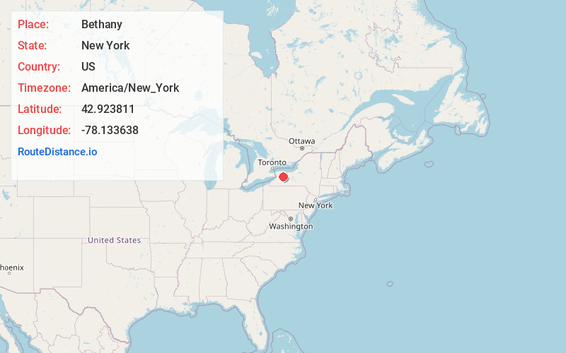
Full AddressBethany, NY
-
Coordinates42.9238109, -78.133638
-
LocationBethany , New York , US
-
TimezoneAmerica/New_York
-
Current Local Time9:49:32 AM America/New_YorkMonday, June 16, 2025
-
Page Views0
About Bethany
Bethany is a town in Genesee County, New York, United States. The population was 1,765 at the 2010 census. The town lies on the southern border of Genesee County. US Route 20 and NYS Route 63 pass through the town.


Nearby Places
Found 10 places within 50 miles

Stafford
5.0 mi
8.0 km
Stafford, NY 14143
Get directions

Batavia
5.8 mi
9.3 km
Batavia, NY 14020
Get directions

Pavilion
6.5 mi
10.5 km
Pavilion, NY
Get directions

Oakfield
12.0 mi
19.3 km
Oakfield, NY 14125
Get directions

Caledonia
14.6 mi
23.5 km
Caledonia, NY 14423
Get directions

Bennington
14.6 mi
23.5 km
Bennington, NY 14011
Get directions
Leicester
15.9 mi
25.6 km
Leicester, NY 14481
Get directions

Pembroke
16.1 mi
25.9 km
Pembroke, NY 14036
Get directions

Wheatland
17.1 mi
27.5 km
Wheatland, NY
Get directions
Alabama
17.6 mi
28.3 km
Alabama, NY 14013
Get directions
Location Links
Local Weather
Weather Information
Coming soon!
Location Map
Static map view of Bethany, New York
Browse Places by Distance
Places within specific distances from Bethany
Short Distances
Long Distances
Click any distance to see all places within that range from Bethany. Distances shown in miles (1 mile ≈ 1.61 kilometers).