Distance to Stafford, New York

Calculating Your Route
Just a moment while we process your request...
Location Information
-
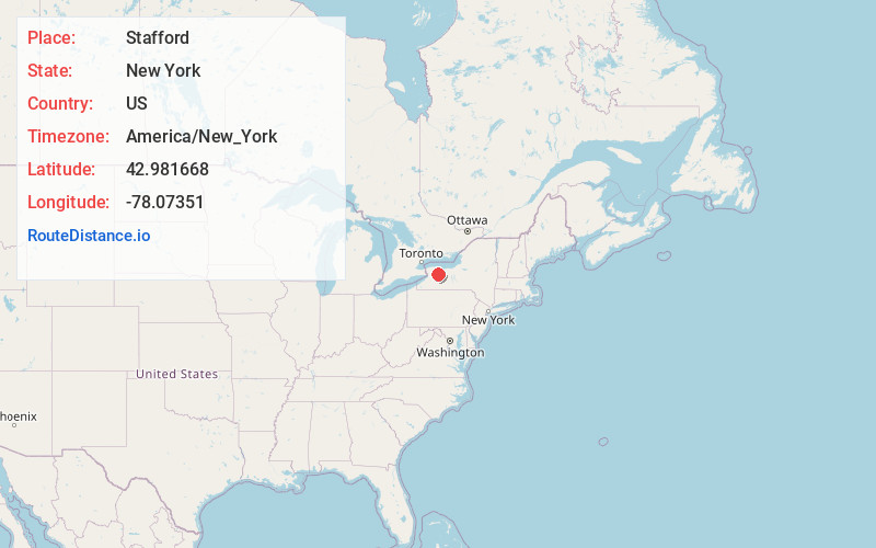
Full AddressStafford, NY 14143
-
Coordinates42.9816684, -78.0735098
-
LocationStafford , New York , US
-
TimezoneAmerica/New_York
-
Current Local Time10:04:44 PM America/New_YorkMonday, May 19, 2025
-
Page Views1
About Stafford
Stafford is a town in Genesee County, New York, United States. The population was 2,424 at the 2020 census. The town was named after a town of the same name in England.
Stafford is one of only two interior towns in Genesee County, lying in the east central part of the county, east of Batavia.


Nearby Places
Found 10 places within 50 miles

Batavia
5.9 mi
9.5 km
Batavia, NY 14020
Get directions

Pavilion
7.7 mi
12.4 km
Pavilion, NY
Get directions

Caledonia
11.2 mi
18.0 km
Caledonia, NY 14423
Get directions

Oakfield
11.5 mi
18.5 km
Oakfield, NY 14125
Get directions

Wheatland
13.1 mi
21.1 km
Wheatland, NY
Get directions

Clarendon
14.6 mi
23.5 km
Clarendon, NY 14470
Get directions

Scottsville
16.9 mi
27.2 km
Scottsville, NY 14546
Get directions

Brockport
17.4 mi
28.0 km
Brockport, NY 14420
Get directions

Geneseo
18.3 mi
29.5 km
Geneseo, NY 14454
Get directions

Pembroke
18.3 mi
29.5 km
Pembroke, NY 14036
Get directions
Location Links
Local Weather
Weather Information
Coming soon!
Location Map
Static map view of Stafford, New York
Browse Places by Distance
Places within specific distances from Stafford
Short Distances
Long Distances
Click any distance to see all places within that range from Stafford. Distances shown in miles (1 mile ≈ 1.61 kilometers).