Distance to Bethany, Oregon

Calculating Your Route
Just a moment while we process your request...
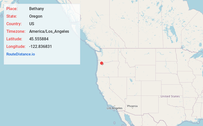
Location Information
-
Full AddressBethany, West Union, OR
-
Coordinates45.5558837, -122.8368308
-
NeighborhoodBethany
-
LocationWest Union , Oregon , US
-
TimezoneAmerica/Los_Angeles
-
Current Local Time11:02:16 PM America/Los_AngelesWednesday, July 2, 2025
-
Page Views1
About Bethany
Bethany is an unincorporated community and census-designated place in Washington County, Oregon, United States. It is situated north of U.S. Route 26 and Oak Hills, near Beaverton, approximately four miles northwest of Cedar Mill, and is within the Portland metropolitan area.


Nearby Places
Found 10 places within 50 miles

West Union
2.9 mi
4.7 km
West Union, OR 97124
Get directions

Cedar Hills
3.6 mi
5.8 km
Cedar Hills, OR
Get directions

West Haven-Sylvan
4.3 mi
6.9 km
West Haven-Sylvan, OR
Get directions

Aloha
4.5 mi
7.2 km
Aloha, OR
Get directions

Helvetia
4.8 mi
7.7 km
Helvetia, OR 97124
Get directions
West Slope
4.9 mi
7.9 km
West Slope, OR
Get directions

Beaverton
5.0 mi
8.0 km
Beaverton, OR
Get directions

Hidden Creek Park East
5.0 mi
8.0 km
Hidden Creek Park East, Hillsboro, OR 97124
Get directions
Folkenberg
5.2 mi
8.4 km
Folkenberg, OR 97231
Get directions
Burlington
6.2 mi
10.0 km
Burlington, OR 97231
Get directions
Location Links
Local Weather
Weather Information
Coming soon!
Location Map
Static map view of Bethany, Oregon
Browse Places by Distance
Places within specific distances from Bethany
Short Distances
Long Distances
Click any distance to see all places within that range from Bethany. Distances shown in miles (1 mile ≈ 1.61 kilometers).