Distance to West Union, Oregon

Calculating Your Route
Just a moment while we process your request...
Location Information
-
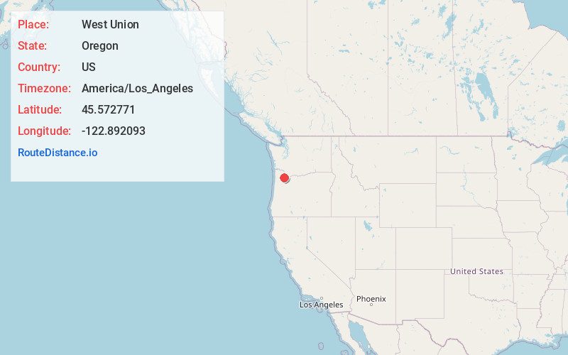
Full AddressWest Union, OR 97124
-
Coordinates45.5727705, -122.8920928
-
LocationWest Union , Oregon , US
-
TimezoneAmerica/Los_Angeles
-
Current Local Time7:31:24 AM America/Los_AngelesWednesday, June 11, 2025
-
Page Views0
About West Union
West Union is an unincorporated community in Washington County, Oregon, United States. Founded in 1851, the community had the first school district in the county; it also contains the oldest cemetery in the state and the oldest Baptist church west of the Rocky Mountains.
Nearby Places
Found 10 places within 50 miles

North Plains
5.5 mi
8.9 km
North Plains, OR 97133
Get directions

Aloha
5.6 mi
9.0 km
Aloha, OR
Get directions

Hillsboro
6.0 mi
9.7 km
Hillsboro, OR
Get directions

Cedar Hills
6.1 mi
9.8 km
Cedar Hills, OR
Get directions

West Haven-Sylvan
7.2 mi
11.6 km
West Haven-Sylvan, OR
Get directions

Beaverton
7.3 mi
11.7 km
Beaverton, OR
Get directions

Hazeldale
7.3 mi
11.7 km
Hazeldale, OR 97007
Get directions
West Slope
7.6 mi
12.2 km
West Slope, OR
Get directions

Cornelius
8.9 mi
14.3 km
Cornelius, OR
Get directions
Raleigh Hills
9.0 mi
14.5 km
Raleigh Hills, OR
Get directions
Location Links
Local Weather
Weather Information
Coming soon!
Location Map
Static map view of West Union, Oregon
Browse Places by Distance
Places within specific distances from West Union
Short Distances
Long Distances
Click any distance to see all places within that range from West Union. Distances shown in miles (1 mile ≈ 1.61 kilometers).