Distance to Bethlehem, Kentucky

Calculating Your Route
Just a moment while we process your request...
Location Information
-
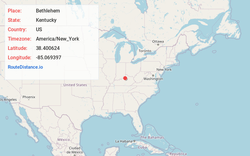
Full AddressBethlehem, KY 40057
-
Coordinates38.4006235, -85.0693974
-
LocationBethlehem , Kentucky , US
-
TimezoneAmerica/New_York
-
Current Local Time2:59:55 PM America/New_YorkWednesday, May 28, 2025
-
Page Views0
About Bethlehem
Bethlehem is an unincorporated community in Henry County, Kentucky, United States. This rural community, formerly known as Mobley Stand, is centered at the intersection of Kentucky Highways 22 and 573. Bethlehem is best known for its annual Living Nativity, celebrated on December 22–25 from 6:30–9:00 pm.

Nearby Places
Found 10 places within 50 miles

Franklinton
3.7 mi
6.0 km
Franklinton, KY 40007
Get directions

Defoe
4.2 mi
6.8 km
Defoe, KY 40057
Get directions

Pleasureville
4.5 mi
7.2 km
Pleasureville, KY 40057
Get directions
Bellview
5.0 mi
8.0 km
Bellview, KY 40057
Get directions
Elmburg
5.5 mi
8.9 km
Elmburg, KY 40057
Get directions
Delville
5.5 mi
8.9 km
Delville, KY 40011
Get directions

New Castle
5.9 mi
9.5 km
New Castle, KY
Get directions

Lockport
6.0 mi
9.7 km
Lockport, KY 40036
Get directions

Eminence
6.4 mi
10.3 km
Eminence, KY 40019
Get directions

Cropper
6.6 mi
10.6 km
Cropper, KY 40065
Get directions
Location Links
Local Weather
Weather Information
Coming soon!
Location Map
Static map view of Bethlehem, Kentucky
Browse Places by Distance
Places within specific distances from Bethlehem
Short Distances
Long Distances
Click any distance to see all places within that range from Bethlehem. Distances shown in miles (1 mile ≈ 1.61 kilometers).