Distance to Elmburg, Kentucky

Calculating Your Route
Just a moment while we process your request...
Location Information
-
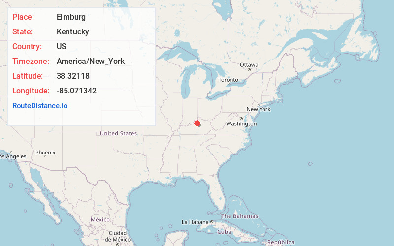
Full AddressElmburg, KY 40057
-
Coordinates38.3211804, -85.0713423
-
LocationKentucky , US
-
TimezoneAmerica/New_York
-
Current Local Time9:07:36 AM America/New_YorkSunday, May 25, 2025
-
Page Views0
Nearby Places
Found 10 places within 50 miles

Cropper
2.4 mi
3.9 km
Cropper, KY 40065
Get directions

Old Christianburg
2.8 mi
4.5 km
Old Christianburg, KY 40003
Get directions

Pleasureville
2.9 mi
4.7 km
Pleasureville, KY 40057
Get directions

Bagdad
4.1 mi
6.6 km
Bagdad, KY 40003
Get directions
Mulberry
5.2 mi
8.4 km
Mulberry, KY 40065
Get directions
Flag Fork
6.7 mi
10.8 km
Flag Fork, KY 40601
Get directions

Eminence
6.8 mi
10.9 km
Eminence, KY 40019
Get directions

Franklinton
9.1 mi
14.6 km
Franklinton, KY 40007
Get directions

New Castle
9.4 mi
15.1 km
New Castle, KY
Get directions

Lockport
9.7 mi
15.6 km
Lockport, KY 40036
Get directions
Location Links
Local Weather
Weather Information
Coming soon!
Location Map
Static map view of Elmburg, Kentucky
Browse Places by Distance
Places within specific distances from Elmburg
Short Distances
Long Distances
Click any distance to see all places within that range from Elmburg. Distances shown in miles (1 mile ≈ 1.61 kilometers).