Distance to Bexar, Arkansas

Calculating Your Route
Just a moment while we process your request...
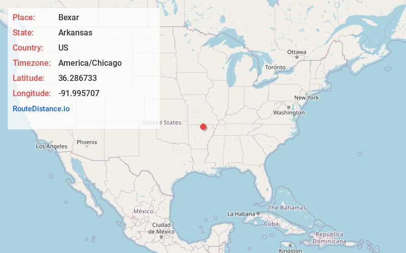
Location Information
-
Full AddressBexar, AR 72576
-
Coordinates36.2867328, -91.9957071
-
LocationBexar , Arkansas , US
-
TimezoneAmerica/Chicago
-
Current Local Time8:08:48 AM America/ChicagoMonday, June 23, 2025
-
Page Views0
About Bexar
Bexar is an unincorporated community in southwest Fulton County, Arkansas, United States. Bexar is located on Bexar Road just east of Arkansas Highway 223, approximately 7.5 miles south of Viola. Bexar has a post office with ZIP code 72515.
Nearby Places
Found 10 places within 50 miles

Oxford
5.9 mi
9.5 km
Oxford, AR
Get directions

Elizabeth
6.4 mi
10.3 km
Elizabeth, AR 72531
Get directions
Viola
7.6 mi
12.2 km
Viola, AR 72583
Get directions
Gepp
9.2 mi
14.8 km
Gepp, AR 72538
Get directions
Pineville
10.6 mi
17.1 km
Pineville, AR
Get directions
Jordan
11.1 mi
17.9 km
Jordan, AR 72519
Get directions

Salem
11.3 mi
18.2 km
Salem, AR 72576
Get directions
Morriston
12.1 mi
19.5 km
Morriston, AR 72576
Get directions
Violet Hill
12.6 mi
20.3 km
Violet Hill, AR
Get directions
Gorby
13.5 mi
21.7 km
Gorby, AR 72519
Get directions
Location Links
Local Weather
Weather Information
Coming soon!
Location Map
Static map view of Bexar, Arkansas
Browse Places by Distance
Places within specific distances from Bexar
Short Distances
Long Distances
Click any distance to see all places within that range from Bexar. Distances shown in miles (1 mile ≈ 1.61 kilometers).