Distance to Gepp, Arkansas

Calculating Your Route
Just a moment while we process your request...
Location Information
-
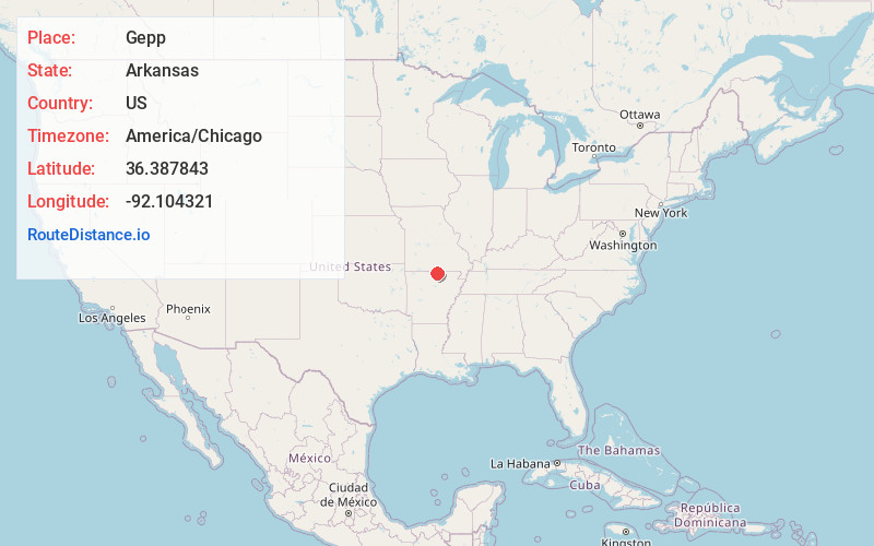
Full AddressGepp, AR 72538
-
Coordinates36.3878433, -92.1043207
-
LocationGepp , Arkansas , US
-
TimezoneAmerica/Chicago
-
Current Local Time1:41:28 AM America/ChicagoFriday, June 20, 2025
-
Page Views0
About Gepp
Gepp is an unincorporated community in western Fulton County, Arkansas, United States. Gepp is located along U.S. Routes 62 and 412, 7 miles west of Viola. Gepp has a post office with ZIP code 72538.
Nearby Places
Found 10 places within 50 miles

Elizabeth
3.9 mi
6.3 km
Elizabeth, AR 72531
Get directions
Viola
6.8 mi
10.9 km
Viola, AR 72583
Get directions
Henderson
6.9 mi
11.1 km
Henderson, AR
Get directions

Gamaliel
8.6 mi
13.8 km
Gamaliel, AR 72537
Get directions

Bakersfield
9.5 mi
15.3 km
Bakersfield, MO 65626
Get directions
Briarcliff
13.2 mi
21.2 km
Briarcliff, AR 72653
Get directions

Salesville
13.3 mi
21.4 km
Salesville, AR 72653
Get directions

Oxford
15.1 mi
24.3 km
Oxford, AR
Get directions
Pineville
15.6 mi
25.1 km
Pineville, AR
Get directions

Elijah
15.6 mi
25.1 km
Elijah, MO 65626
Get directions
Location Links
Local Weather
Weather Information
Coming soon!
Location Map
Static map view of Gepp, Arkansas
Browse Places by Distance
Places within specific distances from Gepp
Short Distances
Long Distances
Click any distance to see all places within that range from Gepp. Distances shown in miles (1 mile ≈ 1.61 kilometers).