Distance to Big Bend, Michigan

Calculating Your Route
Just a moment while we process your request...
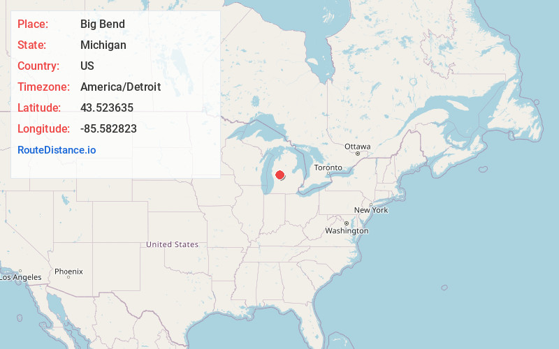
Location Information
-
Full AddressBig Bend, Big Prairie Township, MI 49349
-
Coordinates43.5236353, -85.5828232
-
LocationBig Prairie Township , Michigan , US
-
TimezoneAmerica/Detroit
-
Current Local Time10:57:08 PM America/DetroitSunday, June 22, 2025
-
Page Views0
Nearby Places
Found 10 places within 50 miles

Oxbow Park
1.5 mi
2.4 km
Oxbow Park, Big Prairie Township, MI 49337
Get directions
Croton Heights
5.3 mi
8.5 km
Croton Heights, Croton Township, MI 49337
Get directions
Borland
7.3 mi
11.7 km
Borland, Deerfield Township, MI 49336
Get directions

Morley
7.3 mi
11.7 km
Morley, MI 49336
Get directions

Croton Township
7.5 mi
12.1 km
Croton Township, MI
Get directions

Stanwood
7.7 mi
12.4 km
Stanwood, MI 49346
Get directions

White Cloud
9.7 mi
15.6 km
White Cloud, MI 49349
Get directions

Howard City
10.6 mi
17.1 km
Howard City, MI 49329
Get directions
Amble
11.6 mi
18.7 km
Amble, MI 49329
Get directions
Rustford
12.1 mi
19.5 km
Rustford, Deerfield Township, MI 49336
Get directions
Location Links
Local Weather
Weather Information
Coming soon!
Location Map
Static map view of Big Bend, Michigan
Browse Places by Distance
Places within specific distances from Big Bend
Short Distances
Long Distances
Click any distance to see all places within that range from Big Bend. Distances shown in miles (1 mile ≈ 1.61 kilometers).