Distance to Billy Goat Hill, Alabama

Calculating Your Route
Just a moment while we process your request...
Location Information
-
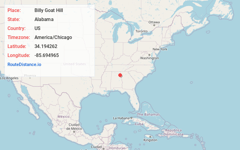
Full AddressBilly Goat Hill, AL 35960
-
Coordinates34.1942618, -85.6949647
-
LocationAlabama , US
-
TimezoneAmerica/Chicago
-
Current Local Time10:04:30 PM America/ChicagoThursday, June 19, 2025
-
Page Views0
Nearby Places
Found 10 places within 50 miles

Round Mountain
1.6 mi
2.6 km
Round Mountain, AL 35959
Get directions
McGhee
2.8 mi
4.5 km
McGhee, AL 35960
Get directions

Centre
3.1 mi
5.0 km
Centre, AL 35960
Get directions
Blue Pond
3.3 mi
5.3 km
Blue Pond, AL 35959
Get directions

Leesburg
3.9 mi
6.3 km
Leesburg, AL 35983
Get directions
Bristow
4.7 mi
7.6 km
Bristow, AL 35983
Get directions
Piney
4.9 mi
7.9 km
Piney, AL 35960
Get directions

Cedar Bluff
5.3 mi
8.5 km
Cedar Bluff, AL
Get directions

Sand Rock
5.3 mi
8.5 km
Sand Rock, AL
Get directions
Maple Grove
6.6 mi
10.6 km
Maple Grove, AL 35983
Get directions
Location Links
Local Weather
Weather Information
Coming soon!
Location Map
Static map view of Billy Goat Hill, Alabama
Browse Places by Distance
Places within specific distances from Billy Goat Hill
Short Distances
Long Distances
Click any distance to see all places within that range from Billy Goat Hill. Distances shown in miles (1 mile ≈ 1.61 kilometers).