Distance to Sand Rock, Alabama

Calculating Your Route
Just a moment while we process your request...
Location Information
-
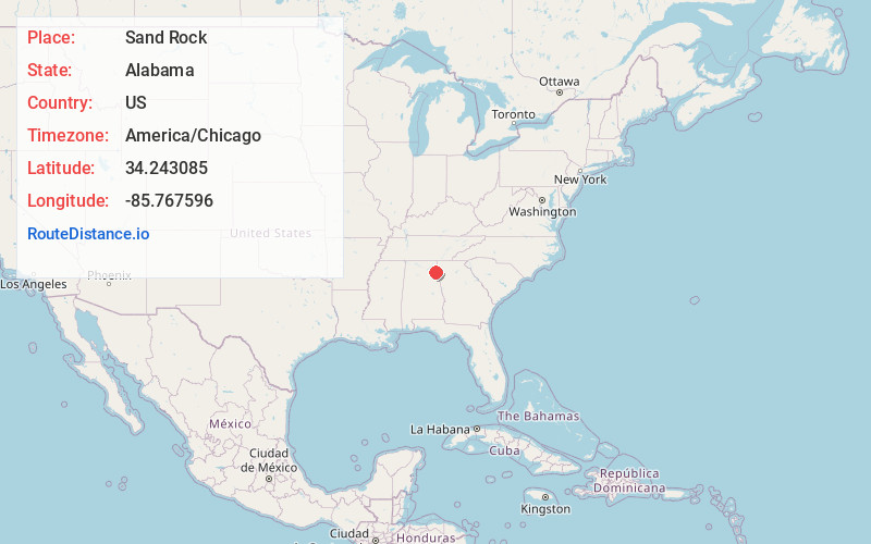
Full AddressSand Rock, AL
-
Coordinates34.2430853, -85.7675955
-
LocationSand Rock , Alabama , US
-
TimezoneAmerica/Chicago
-
Current Local Time6:56:36 PM America/ChicagoThursday, July 3, 2025
-
Page Views0
About Sand Rock
Sand Rock is a town in Cherokee and DeKalb counties in the U.S. state of Alabama. It incorporated in 1988. At the 2020 census, the population was 591.


Nearby Places
Found 10 places within 50 miles

Leesburg
4.4 mi
7.1 km
Leesburg, AL 35983
Get directions

Collinsville
5.5 mi
8.9 km
Collinsville, AL 35961
Get directions

Centre
8.1 mi
13.0 km
Centre, AL 35960
Get directions

Cedar Bluff
9.3 mi
15.0 km
Cedar Bluff, AL
Get directions

Ballplay
13.0 mi
20.9 km
Ballplay, AL
Get directions

Crossville
13.3 mi
21.4 km
Crossville, AL
Get directions
Coates Bend
13.4 mi
21.6 km
Coates Bend, AL 35901
Get directions

Fort Payne
14.2 mi
22.9 km
Fort Payne, AL
Get directions
Lookout Mountain
14.7 mi
23.7 km
Lookout Mountain, AL 35904
Get directions
Geraldine
15.3 mi
24.6 km
Geraldine, AL
Get directions
Location Links
Local Weather
Weather Information
Coming soon!
Location Map
Static map view of Sand Rock, Alabama
Browse Places by Distance
Places within specific distances from Sand Rock
Short Distances
Long Distances
Click any distance to see all places within that range from Sand Rock. Distances shown in miles (1 mile ≈ 1.61 kilometers).