Distance to Bingham Springs, Oregon

Calculating Your Route
Just a moment while we process your request...
Location Information
-
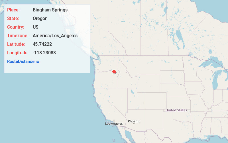
Full AddressBingham Springs, OR 97886
-
Coordinates45.74222, -118.23083
-
LocationBingham Springs , Oregon , US
-
TimezoneAmerica/Los_Angeles
-
Current Local Time2:27:56 AM America/Los_AngelesMonday, June 2, 2025
-
Page Views0
About Bingham Springs
Bingham Springs is an unincorporated community in Umatilla County, Oregon, United States. It is about 8 miles east of Gibbon in the Blue Mountains near the Umatilla River.
Bingham Springs was a station and tollgate on the Thomas and Ruckle stagecoach line through the Blue Mountains. The stage house was built in 1864.
Nearby Places
Found 10 places within 50 miles

Gibbon
7.1 mi
11.4 km
Gibbon, OR 97810
Get directions

Tollgate
7.2 mi
11.6 km
Tollgate, OR 97886
Get directions

Weston
10.6 mi
17.1 km
Weston, OR 97886
Get directions
Duncan
13.2 mi
21.2 km
Duncan, OR 97810
Get directions

Athena
13.4 mi
21.6 km
Athena, OR 97813
Get directions

Milton-Freewater
15.2 mi
24.5 km
Milton-Freewater, OR 97862
Get directions

Adams
16.1 mi
25.9 km
Adams, OR 97810
Get directions
Cobb
16.8 mi
27.0 km
Cobb, OR 97862
Get directions

Cayuse
17.1 mi
27.5 km
Cayuse, OR 97801
Get directions
Crockett
17.9 mi
28.8 km
Crockett, OR 97862
Get directions
Location Links
Local Weather
Weather Information
Coming soon!
Location Map
Static map view of Bingham Springs, Oregon
Browse Places by Distance
Places within specific distances from Bingham Springs
Short Distances
Long Distances
Click any distance to see all places within that range from Bingham Springs. Distances shown in miles (1 mile ≈ 1.61 kilometers).