Distance to Cayuse, Oregon

Calculating Your Route
Just a moment while we process your request...
Location Information
-
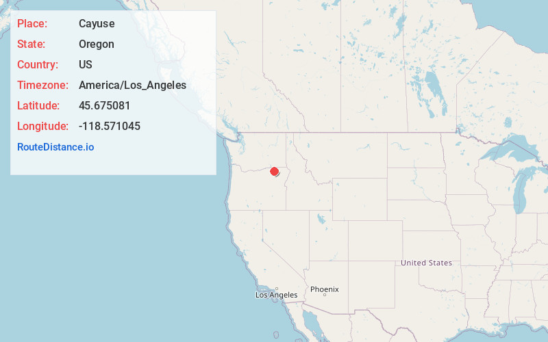
Full AddressCayuse, OR 97801
-
Coordinates45.6750809, -118.5710445
-
LocationCayuse , Oregon , US
-
TimezoneAmerica/Los_Angeles
-
Current Local Time5:21:30 PM America/Los_AngelesFriday, June 20, 2025
-
Page Views0
About Cayuse
Cayuse is a census-designated place and unincorporated community in Umatilla County, Oregon, United States, located 11 miles east of Pendleton on the Umatilla Indian Reservation. The population was 59 at the 2000 census. It is part of the Pendleton–Hermiston Micropolitan Statistical Area.


Nearby Places
Found 10 places within 50 miles

Kirkpatrick
3.0 mi
4.8 km
Kirkpatrick, OR 97801
Get directions

Mission
5.5 mi
8.9 km
Mission, OR 97801
Get directions

Adams
6.4 mi
10.3 km
Adams, OR 97810
Get directions

Tutuilla
7.1 mi
11.4 km
Tutuilla, OR 97801
Get directions

Gopher Flats
7.2 mi
11.6 km
Gopher Flats, OR 97801
Get directions

Athena
10.2 mi
16.4 km
Athena, OR 97813
Get directions

Pendleton
10.5 mi
16.9 km
Pendleton, OR 97801
Get directions
Green Meadows
11.8 mi
19.0 km
Green Meadows, OR 97801
Get directions

Weston
11.9 mi
19.2 km
Weston, OR 97886
Get directions
McKay
12.3 mi
19.8 km
McKay, OR 97868
Get directions
Location Links
Local Weather
Weather Information
Coming soon!
Location Map
Static map view of Cayuse, Oregon
Browse Places by Distance
Places within specific distances from Cayuse
Short Distances
Long Distances
Click any distance to see all places within that range from Cayuse. Distances shown in miles (1 mile ≈ 1.61 kilometers).