Distance to Weston, Oregon

Calculating Your Route
Just a moment while we process your request...
Location Information
-
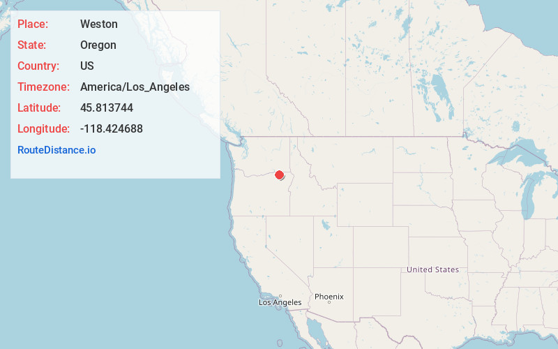
Full AddressWeston, OR 97886
-
Coordinates45.813744, -118.424688
-
LocationWeston , Oregon , US
-
TimezoneAmerica/Los_Angeles
-
Current Local Time12:00:41 PM America/Los_AngelesWednesday, June 18, 2025
-
Page Views0
About Weston
Weston is a city in Umatilla County, Oregon, United States. It was originally a post office called Mitchell's Station, established in February 1867. In September 1869, T.T. Lieuallen renamed the post office after his hometown, Weston, Missouri. The population was 667 at the 2010 census.


Nearby Places
Found 10 places within 50 miles

Athena
3.2 mi
5.1 km
Athena, OR 97813
Get directions

Adams
7.4 mi
11.9 km
Adams, OR 97810
Get directions

Milton-Freewater
8.4 mi
13.5 km
Milton-Freewater, OR 97862
Get directions

Umapine
11.8 mi
19.0 km
Umapine, OR 97862
Get directions

Mission
16.1 mi
25.9 km
Mission, OR 97801
Get directions

College Place
16.4 mi
26.4 km
College Place, WA
Get directions

Garrett
17.2 mi
27.7 km
Garrett, WA 99362
Get directions

Walla Walla
17.8 mi
28.6 km
Walla Walla, WA 99362
Get directions

Touchet
19.6 mi
31.5 km
Touchet, WA 99360
Get directions

Pendleton
20.1 mi
32.3 km
Pendleton, OR 97801
Get directions
Location Links
Local Weather
Weather Information
Coming soon!
Location Map
Static map view of Weston, Oregon
Browse Places by Distance
Places within specific distances from Weston
Short Distances
Long Distances
Click any distance to see all places within that range from Weston. Distances shown in miles (1 mile ≈ 1.61 kilometers).