Distance to Gopher Flats, Oregon

Calculating Your Route
Just a moment while we process your request...
Location Information
-
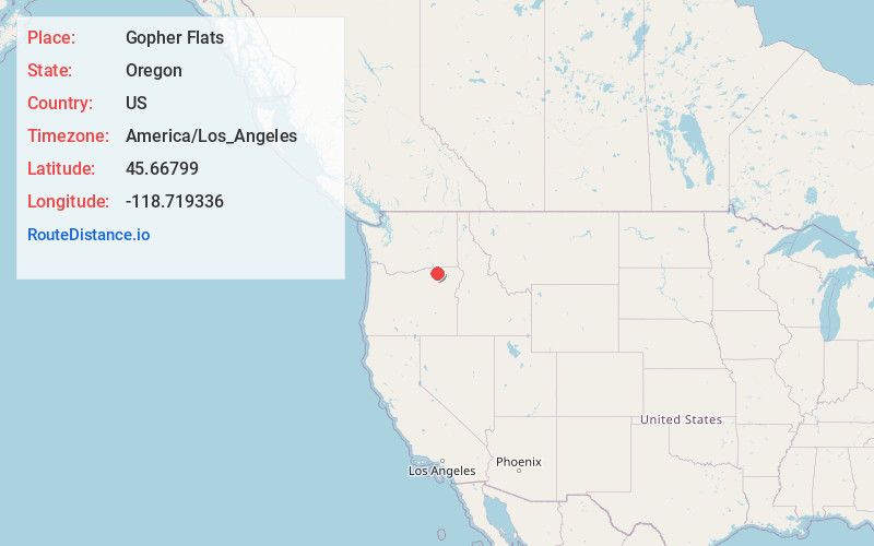
Full AddressGopher Flats, OR 97801
-
Coordinates45.6679895, -118.7193358
-
LocationGopher Flats , Oregon , US
-
TimezoneAmerica/Los_Angeles
-
Current Local Time7:49:36 AM America/Los_AngelesTuesday, July 1, 2025
-
Page Views0
About Gopher Flats
Gopher Flats is a census-designated place in Umatilla County, Oregon, United States. The population was 401 at the 2000 census. It is part of the Pendleton–Hermiston Micropolitan Statistical Area.

Nearby Places
Found 10 places within 50 miles

Mission
1.7 mi
2.7 km
Mission, OR 97801
Get directions

Tutuilla
3.2 mi
5.1 km
Tutuilla, OR 97801
Get directions

Pendleton
3.4 mi
5.5 km
Pendleton, OR 97801
Get directions

Green Meadows
5.3 mi
8.5 km
Green Meadows, OR 97801
Get directions

Adams
10.2 mi
16.4 km
Adams, OR 97810
Get directions

Pilot Rock
13.8 mi
22.2 km
Pilot Rock, OR
Get directions

Athena
14.8 mi
23.8 km
Athena, OR 97813
Get directions

Weston
17.4 mi
28.0 km
Weston, OR 97886
Get directions

Echo
23.5 mi
37.8 km
Echo, OR 97826
Get directions

Umapine
23.9 mi
38.5 km
Umapine, OR 97862
Get directions
Location Links
Local Weather
Weather Information
Coming soon!
Location Map
Static map view of Gopher Flats, Oregon
Browse Places by Distance
Places within specific distances from Gopher Flats
Short Distances
Long Distances
Click any distance to see all places within that range from Gopher Flats. Distances shown in miles (1 mile ≈ 1.61 kilometers).