Distance to Birkenfeld, Oregon

Calculating Your Route
Just a moment while we process your request...
Location Information
-
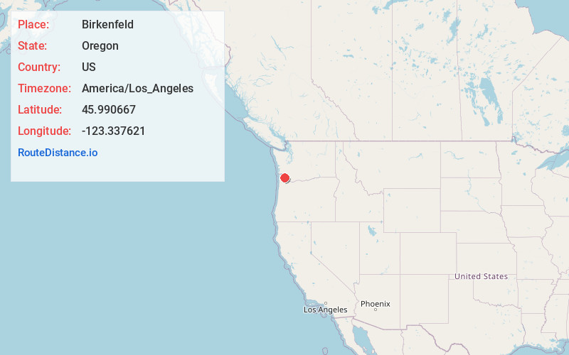
Full AddressBirkenfeld, OR 97016
-
Coordinates45.9906668, -123.3376214
-
LocationBirkenfeld , Oregon , US
-
TimezoneAmerica/Los_Angeles
-
Current Local Time3:26:17 AM America/Los_AngelesThursday, June 19, 2025
-
Page Views0
About Birkenfeld
Birkenfeld is an unincorporated community in Columbia County, Oregon, United States, in the Nehalem Valley on Oregon Route 202 between Jewell and Mist.


Nearby Places
Found 10 places within 50 miles

Clatskanie Heights
7.8 mi
12.6 km
Clatskanie Heights, OR 97016
Get directions

Woodson
8.6 mi
13.8 km
Woodson, OR 97016
Get directions

Jewell
8.9 mi
14.3 km
Jewell, OR 97016
Get directions
Keasey
8.9 mi
14.3 km
Keasey, OR 97064
Get directions

Kerry
9.0 mi
14.5 km
Kerry, OR 97016
Get directions

Westport
10.0 mi
16.1 km
Westport, OR 97016
Get directions

Clatskanie
10.1 mi
16.3 km
Clatskanie, OR 97016
Get directions
Taylorville
10.8 mi
17.4 km
Taylorville, OR 97016
Get directions
Pittsburg
10.9 mi
17.5 km
Pittsburg, OR 97064
Get directions
Oklahoma Hill
11.0 mi
17.7 km
Oklahoma Hill, OR 97016
Get directions
Location Links
Local Weather
Weather Information
Coming soon!
Location Map
Static map view of Birkenfeld, Oregon
Browse Places by Distance
Places within specific distances from Birkenfeld
Short Distances
Long Distances
Click any distance to see all places within that range from Birkenfeld. Distances shown in miles (1 mile ≈ 1.61 kilometers).