Distance to Pittsburg, Oregon

Calculating Your Route
Just a moment while we process your request...
Location Information
-
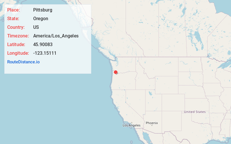
Full AddressPittsburg, OR 97064
-
Coordinates45.90083, -123.15111
-
LocationPittsburg , Oregon , US
-
TimezoneAmerica/Los_Angeles
-
Current Local Time11:19:58 AM America/Los_AngelesFriday, June 13, 2025
-
Page Views0
About Pittsburg
Pittsburg is an unincorporated community in Columbia County, Oregon, United States. Pittsburg is located on the Nehalem River near its confluence with the East Fork Nehalem River. The Scappoose-Vernonia road and the St. Helens-Pittsburg road join Oregon Route 47 near Pittsburg. Pittsburg's elevation is 584 feet.
Nearby Places
Found 10 places within 50 miles

Vernonia
3.7 mi
6.0 km
Vernonia, OR 97064
Get directions

Keasey
8.9 mi
14.3 km
Keasey, OR 97064
Get directions
Chapman
9.5 mi
15.3 km
Chapman, OR 97056
Get directions
Clatskanie Heights
11.1 mi
17.9 km
Clatskanie Heights, OR 97016
Get directions
Canaan
11.4 mi
18.3 km
Canaan, OR 97054
Get directions
Yankton
12.9 mi
20.8 km
Yankton, OR 97051
Get directions
Beaver Homes
13.0 mi
20.9 km
Beaver Homes, OR 97048
Get directions

Clatskanie
14.3 mi
23.0 km
Clatskanie, OR 97016
Get directions
Alston
14.6 mi
23.5 km
Alston, OR 97048
Get directions

Deer Island
14.9 mi
24.0 km
Deer Island, OR 97054
Get directions
Location Links
Local Weather
Weather Information
Coming soon!
Location Map
Static map view of Pittsburg, Oregon
Browse Places by Distance
Places within specific distances from Pittsburg
Short Distances
Long Distances
Click any distance to see all places within that range from Pittsburg. Distances shown in miles (1 mile ≈ 1.61 kilometers).