Distance to Black Bottom Branch, Alabama

Calculating Your Route
Just a moment while we process your request...
Location Information
-
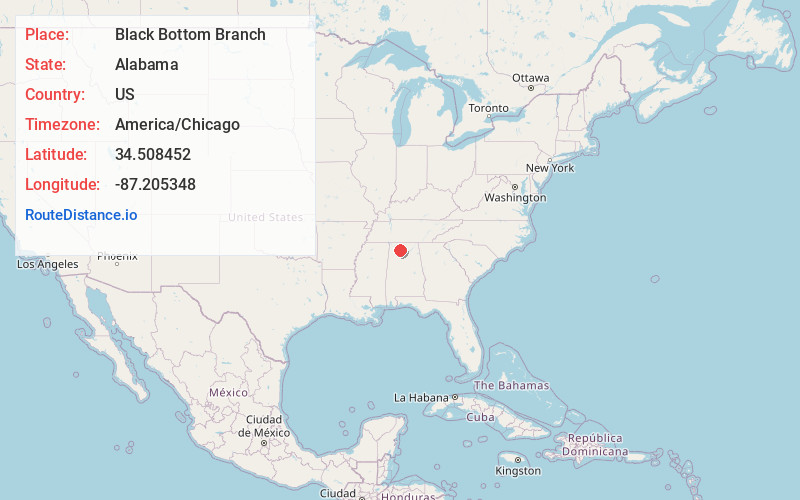
Full AddressBlack Bottom Branch, Alabama
-
Coordinates34.5084524, -87.2053477
-
LocationAlabama , US
-
TimezoneAmerica/Chicago
-
Current Local Time4:09:47 AM America/ChicagoSaturday, June 21, 2025
-
Page Views1
Nearby Places
Found 10 places within 50 miles

Chalybeate Springs
4.1 mi
6.6 km
Chalybeate Springs, AL 35643
Get directions
Masterson Mill
4.9 mi
7.9 km
Masterson Mill, AL 35650
Get directions
Oakville
5.0 mi
8.0 km
Oakville, AL 35619
Get directions

Moulton
5.4 mi
8.7 km
Moulton, AL 35650
Get directions
Caddo
5.6 mi
9.0 km
Caddo, AL 35673
Get directions
Wolftown
5.7 mi
9.2 km
Wolftown, AL 35603
Get directions
Mountain Home
6.0 mi
9.7 km
Mountain Home, AL 35650
Get directions
Aldridge Grove
6.2 mi
10.0 km
Aldridge Grove, AL 35650
Get directions

Lawrence County
6.8 mi
10.9 km
Lawrence County, AL
Get directions
Wren
7.2 mi
11.6 km
Wren, AL 35650
Get directions
Location Links
Local Weather
Weather Information
Coming soon!
Location Map
Static map view of Black Bottom Branch, Alabama
Browse Places by Distance
Places within specific distances from Black Bottom Branch
Short Distances
Long Distances
Click any distance to see all places within that range from Black Bottom Branch. Distances shown in miles (1 mile ≈ 1.61 kilometers).