Distance to Black Butte Ranch, Oregon

Calculating Your Route
Just a moment while we process your request...
Location Information
-
Full AddressBlack Butte Ranch, OR
-
Coordinates44.3773386, -121.6536619
-
LocationBlack Butte Ranch , Oregon , US
-
TimezoneAmerica/Los_Angeles
-
Current Local Time12:38:30 PM America/Los_AngelesSaturday, June 21, 2025
-
Page Views0
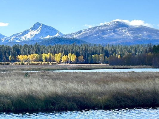
About Black Butte Ranch
Black Butte Ranch is a census-designated place and unincorporated private resort community in Deschutes County, Oregon, United States. It is located in the Cascade Range, 8 miles northwest of Sisters. The population was 366 at the 2010 census.


Nearby Places
Found 10 places within 50 miles

Camp Sherman
5.8 mi
9.3 km
Camp Sherman, OR 97730
Get directions

Sisters
7.9 mi
12.7 km
Sisters, OR 97759
Get directions

Tumalo
22.4 mi
36.0 km
Tumalo, OR 97703
Get directions

Terrebonne
23.6 mi
38.0 km
Terrebonne, OR 97760
Get directions

Culver
24.0 mi
38.6 km
Culver, OR 97734
Get directions

Redmond
24.8 mi
39.9 km
Redmond, OR 97756
Get directions

Metolius
27.5 mi
44.3 km
Metolius, OR 97741
Get directions

Bend
27.7 mi
44.6 km
Bend, OR
Get directions

Seventh Mountain
29.0 mi
46.7 km
Seventh Mountain, OR 97702
Get directions

Deschutes River Woods
30.4 mi
48.9 km
Deschutes River Woods, OR 97702
Get directions
Location Links
Local Weather
Weather Information
Coming soon!
Location Map
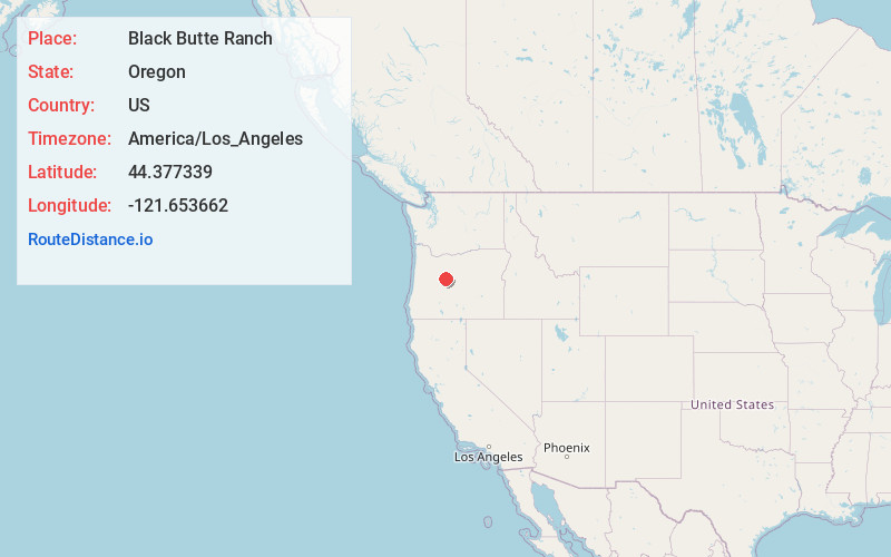
Static map view of Black Butte Ranch, Oregon
Browse Places by Distance
Places within specific distances from Black Butte Ranch
Short Distances
Long Distances
Click any distance to see all places within that range from Black Butte Ranch. Distances shown in miles (1 mile ≈ 1.61 kilometers).