Distance to Black Hawk, Colorado

Calculating Your Route
Just a moment while we process your request...
Location Information
-
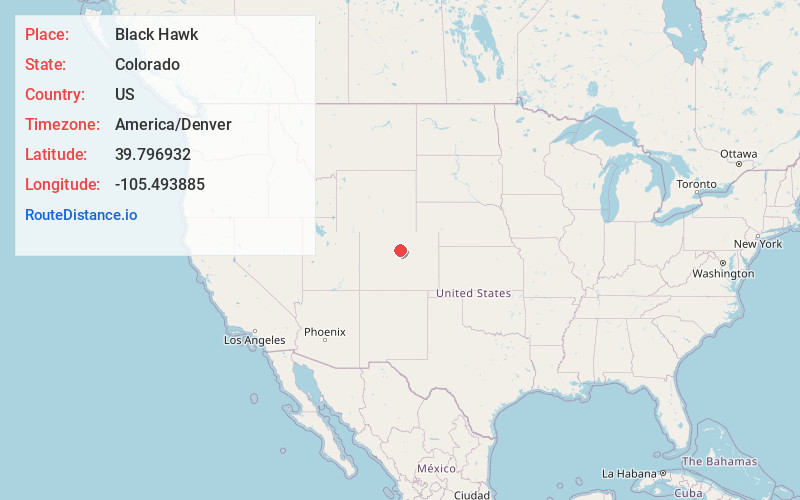
Full AddressBlack Hawk, CO
-
Coordinates39.7969322, -105.4938853
-
LocationBlack Hawk , Colorado , US
-
TimezoneAmerica/Denver
-
Current Local Time3:30:59 PM America/DenverWednesday, June 18, 2025
-
Website
-
Page Views0
About Black Hawk
Black Hawk is a home rule city located in Gilpin County, Colorado, United States. The population was 127 at the 2020 United States census, making it the least populous city in Colorado.


Nearby Places
Found 10 places within 50 miles

Central City
1.1 mi
1.8 km
Central City, CO
Get directions

Idaho Springs
3.9 mi
6.3 km
Idaho Springs, CO
Get directions

Floyd Hill
5.9 mi
9.5 km
Floyd Hill, CO 80439
Get directions
Downieville-Lawson-Dumont
6.9 mi
11.1 km
Downieville-Lawson-Dumont, CO
Get directions

Rollinsville
8.3 mi
13.4 km
Rollinsville, CO
Get directions

St. Mary's Glacier
8.6 mi
13.8 km
St. Mary's Glacier, Colorado 80452
Get directions

Empire
10.4 mi
16.7 km
Empire, CO
Get directions

Coal Creek
10.7 mi
17.2 km
Coal Creek, CO 80403
Get directions

Eldora
11.3 mi
18.2 km
Eldora, CO 80466
Get directions

Nederland
11.4 mi
18.3 km
Nederland, CO 80466
Get directions
Location Links
Local Weather
Weather Information
Coming soon!
Location Map
Static map view of Black Hawk, Colorado
Browse Places by Distance
Places within specific distances from Black Hawk
Short Distances
Long Distances
Click any distance to see all places within that range from Black Hawk. Distances shown in miles (1 mile ≈ 1.61 kilometers).