Distance to Black Wolf, Kansas

Calculating Your Route
Just a moment while we process your request...
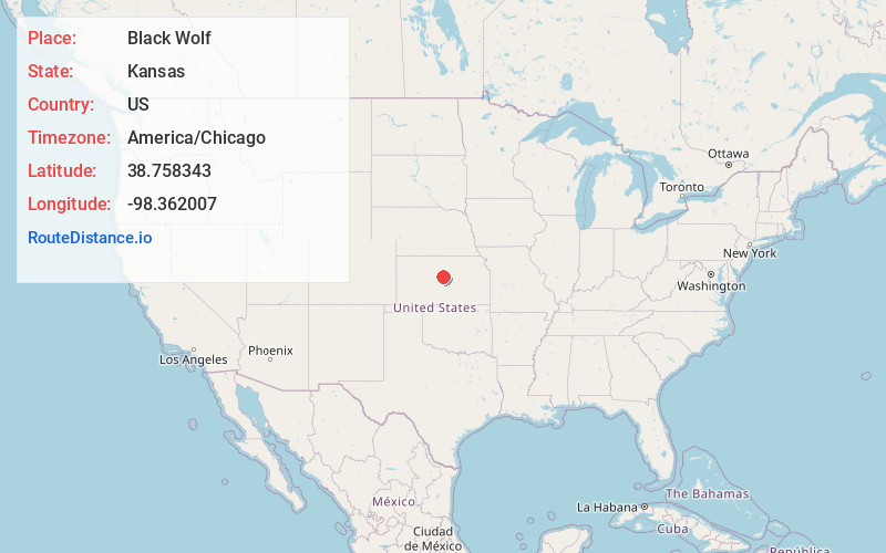
Location Information
-
Full AddressBlack Wolf, KS 67490
-
Coordinates38.7583432, -98.3620065
-
LocationBlack Wolf , Kansas , US
-
TimezoneAmerica/Chicago
-
Current Local Time11:10:17 PM America/ChicagoWednesday, June 18, 2025
-
Page Views0
About Black Wolf
Black Wolf is an unincorporated community in Ellsworth County, Kansas, United States. It is approximately 6 miles west of Ellsworth.
Nearby Places
Found 10 places within 50 miles

Ellsworth
7.5 mi
12.1 km
Ellsworth, KS 67439
Get directions

Wilson
7.6 mi
12.2 km
Wilson, KS 67490
Get directions

Kanopolis
11.5 mi
18.5 km
Kanopolis, KS 67454
Get directions

Holyrood
12.1 mi
19.5 km
Holyrood, KS 67450
Get directions
Lorraine
13.3 mi
21.4 km
Lorraine, KS 67459
Get directions

Dorrance
13.7 mi
22.0 km
Dorrance, KS 67634
Get directions
Dubuque
14.0 mi
22.5 km
Dubuque, Beaver Township, KS 67544
Get directions
Farhman
14.4 mi
23.2 km
Farhman, Independent Township, KS 67525
Get directions
Bushton
17.1 mi
27.5 km
Bushton, KS 67427
Get directions

Sylvan Grove
17.4 mi
28.0 km
Sylvan Grove, KS 67481
Get directions
Location Links
Local Weather
Weather Information
Coming soon!
Location Map
Static map view of Black Wolf, Kansas
Browse Places by Distance
Places within specific distances from Black Wolf
Short Distances
Long Distances
Click any distance to see all places within that range from Black Wolf. Distances shown in miles (1 mile ≈ 1.61 kilometers).