Distance to Blackfoot, Montana

Calculating Your Route
Just a moment while we process your request...
Location Information
-
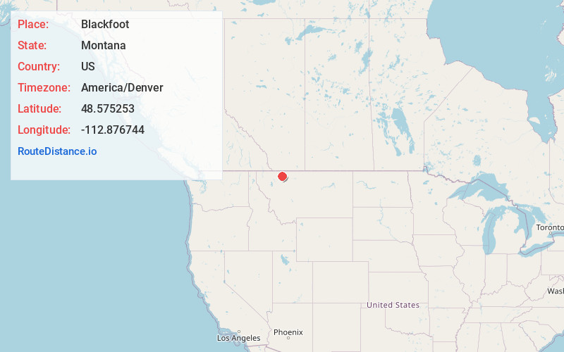
Full AddressBlackfoot, MT
-
Coordinates48.5752534, -112.8767441
-
LocationBlackfoot , Montana , US
-
TimezoneAmerica/Denver
-
Current Local Time12:25:47 AM America/DenverFriday, June 20, 2025
-
Page Views0
Nearby Places
Found 10 places within 50 miles

North Browning
6.1 mi
9.8 km
North Browning, MT 59417
Get directions

Browning
6.4 mi
10.3 km
Browning, MT 59417
Get directions

South Browning
6.5 mi
10.5 km
South Browning, MT 59417
Get directions
Starr School
12.1 mi
19.5 km
Starr School, MT
Get directions

Heart Butte
20.3 mi
32.7 km
Heart Butte, MT
Get directions

Cut Bank
25.5 mi
41.0 km
Cut Bank, MT 59427
Get directions

St Mary
27.8 mi
44.7 km
St Mary, MT
Get directions
Birch Creek Colony
29.3 mi
47.2 km
Birch Creek Colony, MT 59486
Get directions

Dupuyer
31.7 mi
51.0 km
Dupuyer, MT 59486
Get directions

Babb
32.2 mi
51.8 km
Babb, MT 59411
Get directions
Location Links
Local Weather
Weather Information
Coming soon!
Location Map
Static map view of Blackfoot, Montana
Browse Places by Distance
Places within specific distances from Blackfoot
Short Distances
Long Distances
Click any distance to see all places within that range from Blackfoot. Distances shown in miles (1 mile ≈ 1.61 kilometers).