Distance to Blanch, Oklahoma

Calculating Your Route
Just a moment while we process your request...
Location Information
-
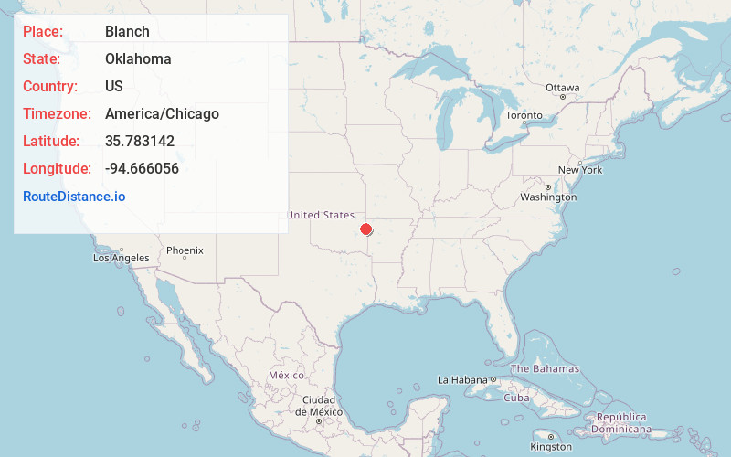
Full AddressBlanch, OK 74960
-
Coordinates35.7831422, -94.6660562
-
LocationOklahoma , US
-
TimezoneAmerica/Chicago
-
Current Local Time5:40:39 AM America/ChicagoFriday, May 30, 2025
-
Page Views0
Nearby Places
Found 10 places within 50 miles

Zion
1.4 mi
2.3 km
Zion, OK 74960
Get directions
Lyons Switch
1.5 mi
2.4 km
Lyons Switch, OK
Get directions

Cherry Tree
2.6 mi
4.2 km
Cherry Tree, OK 74960
Get directions

Stilwell
3.0 mi
4.8 km
Stilwell, OK 74960
Get directions
Stony Point
5.0 mi
8.0 km
Stony Point, Oklahoma 74960
Get directions
Fairfield
5.4 mi
8.7 km
Fairfield, OK 74960
Get directions
Honey Hill Branch
5.6 mi
9.0 km
Honey Hill Branch, Bell, OK 74960
Get directions
Mulberry
5.8 mi
9.3 km
Mulberry, OK 74960
Get directions
Rocky Mountain
5.9 mi
9.5 km
Rocky Mountain, OK
Get directions
Elm Grove
6.0 mi
9.7 km
Elm Grove, OK 74960
Get directions
Location Links
Local Weather
Weather Information
Coming soon!
Location Map
Static map view of Blanch, Oklahoma
Browse Places by Distance
Places within specific distances from Blanch
Short Distances
Long Distances
Click any distance to see all places within that range from Blanch. Distances shown in miles (1 mile ≈ 1.61 kilometers).