Distance to Blaze, Kentucky

Calculating Your Route
Just a moment while we process your request...
Location Information
-
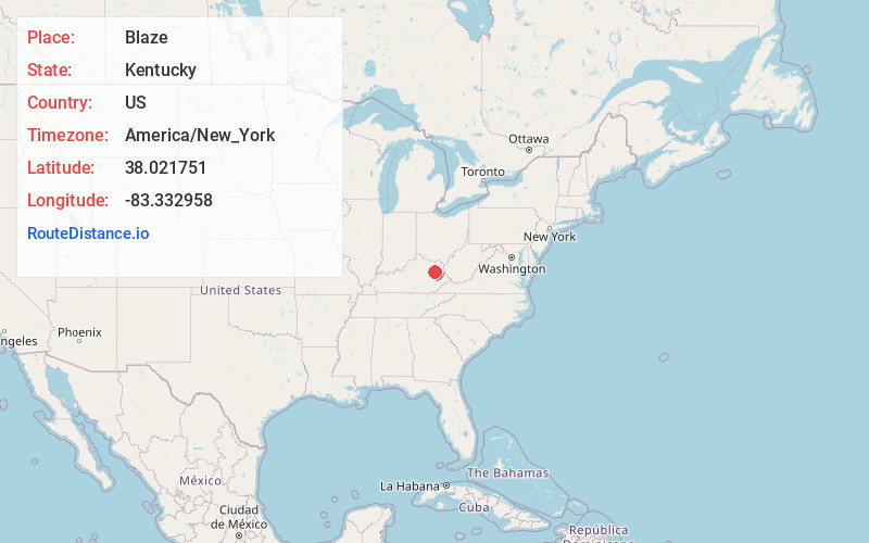
Full AddressBlaze, KY 41472
-
Coordinates38.0217512, -83.3329576
-
LocationBlaze , Kentucky , US
-
TimezoneAmerica/New_York
-
Current Local Time7:49:39 PM America/New_YorkTuesday, June 24, 2025
-
Page Views0
About Blaze
Blaze is an unincorporated community in Morgan County, Kentucky, United States. A post office was opened here in 1896 by Asberry Donohew. It closed in 1987.
Nearby Places
Found 10 places within 50 miles

Zag
3.0 mi
4.8 km
Zag, KY 41472
Get directions
Craney
3.4 mi
5.5 km
Craney, KY 40313
Get directions

Blairs Mills
4.8 mi
7.7 km
Blairs Mills, KY 41472
Get directions
Kellacey
5.2 mi
8.4 km
Kellacey, KY 41472
Get directions
Twentysix
5.5 mi
8.9 km
Twentysix, KY 41472
Get directions
Redwine
5.7 mi
9.2 km
Redwine, KY 41472
Get directions
Spanglin
6.3 mi
10.1 km
Spanglin, KY 41171
Get directions
Hamim
7.4 mi
11.9 km
Hamim, KY 40351
Get directions

West Liberty
8.0 mi
12.9 km
West Liberty, KY 41472
Get directions
Bonny
8.0 mi
12.9 km
Bonny, KY 41425
Get directions
Location Links
Local Weather
Weather Information
Coming soon!
Location Map
Static map view of Blaze, Kentucky
Browse Places by Distance
Places within specific distances from Blaze
Short Distances
Long Distances
Click any distance to see all places within that range from Blaze. Distances shown in miles (1 mile ≈ 1.61 kilometers).