Distance to Twentysix, Kentucky

Calculating Your Route
Just a moment while we process your request...
Location Information
-
Full AddressTwentysix, KY 41472
-
Coordinates37.9448077, -83.361014
-
LocationKentucky , US
-
TimezoneAmerica/New_York
-
Current Local Time8:59:09 AM America/New_YorkThursday, June 12, 2025
-
Page Views0
About Twentysix
Twentysix is an unincorporated community in Morgan County, Kentucky, United States. Its post office has closed.
The story is that the community's first postmaster, Martha Rowland, submitted 25 possible community names, and then jotted down "26," which was the year she submitted the list — 1926.
Nearby Places
Found 10 places within 50 miles

Kellacey
2.0 mi
3.2 km
Kellacey, KY 41472
Get directions
Bonny
2.5 mi
4.0 km
Bonny, KY 41425
Get directions

West Liberty
5.8 mi
9.3 km
West Liberty, KY 41472
Get directions
Ezel
5.9 mi
9.5 km
Ezel, KY 41425
Get directions
Wellington
8.5 mi
13.7 km
Wellington, KY
Get directions
Redwine
8.8 mi
14.2 km
Redwine, KY 41472
Get directions
Maytown
9.0 mi
14.5 km
Maytown, KY 41425
Get directions
Scranton
9.2 mi
14.8 km
Scranton, KY 40322
Get directions
White Oak
10.5 mi
16.9 km
White Oak, KY 41472
Get directions
Hazel Green
10.6 mi
17.1 km
Hazel Green, KY 41332
Get directions
Location Links
Local Weather
Weather Information
Coming soon!
Location Map
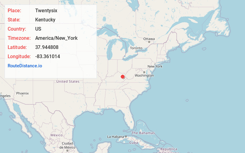
Static map view of Twentysix, Kentucky
Browse Places by Distance
Places within specific distances from Twentysix
Short Distances
Long Distances
Click any distance to see all places within that range from Twentysix. Distances shown in miles (1 mile ≈ 1.61 kilometers).