Distance to Blissfield, Ohio

Calculating Your Route
Just a moment while we process your request...
Location Information
-
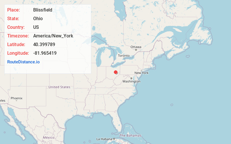
Full AddressBlissfield, OH 43844
-
Coordinates40.3997893, -81.9654188
-
LocationBlissfield , Ohio , US
-
TimezoneAmerica/New_York
-
Current Local Time5:42:47 AM America/New_YorkWednesday, June 18, 2025
-
Page Views0
About Blissfield
Blissfield is an unincorporated community in southwestern Clark Township, Coshocton County, Ohio, United States. It has a post office with the ZIP code 43805. It lies along State Route 60 between Warsaw and Killbuck.
Nearby Places
Found 10 places within 50 miles

Metham
2.4 mi
3.9 km
Metham, OH 43844
Get directions

Warsaw
5.0 mi
8.0 km
Warsaw, OH 43844
Get directions

Lake Buckhorn
5.7 mi
9.2 km
Lake Buckhorn, OH 44654
Get directions

Killbuck
6.7 mi
10.8 km
Killbuck, OH 44637
Get directions
Nellie
6.9 mi
11.1 km
Nellie, OH 43844
Get directions
Stillwell
8.0 mi
12.9 km
Stillwell, OH 44637
Get directions
Becks Mills
9.8 mi
15.8 km
Becks Mills, OH 44654
Get directions

Walhonding
10.0 mi
16.1 km
Walhonding, OH 43843
Get directions

Coshocton
10.4 mi
16.7 km
Coshocton, OH 43812
Get directions

Glenmont
10.8 mi
17.4 km
Glenmont, OH
Get directions
Location Links
Local Weather
Weather Information
Coming soon!
Location Map
Static map view of Blissfield, Ohio
Browse Places by Distance
Places within specific distances from Blissfield
Short Distances
Long Distances
Click any distance to see all places within that range from Blissfield. Distances shown in miles (1 mile ≈ 1.61 kilometers).