Distance to Blount, North Carolina

Calculating Your Route
Just a moment while we process your request...
Location Information
-
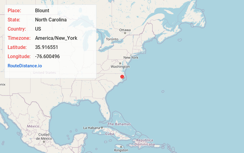
Full AddressBlount, NC 27970
-
Coordinates35.9165511, -76.6004963
-
LocationNorth Carolina , US
-
TimezoneAmerica/New_York
-
Current Local Time11:15:57 AM America/New_YorkTuesday, June 17, 2025
-
Page Views0
Nearby Places
Found 10 places within 50 miles

Roper
2.8 mi
4.5 km
Roper, NC 27970
Get directions

Cape Colony
7.2 mi
11.6 km
Cape Colony, NC 27932
Get directions

Plymouth
9.0 mi
14.5 km
Plymouth, NC
Get directions

Edenton
9.8 mi
15.8 km
Edenton, NC 27932
Get directions

Creswell
12.1 mi
19.5 km
Creswell, NC 27928
Get directions
Taylors Store
13.4 mi
21.6 km
Taylors Store, NC 27957
Get directions
Valhalla
15.6 mi
25.1 km
Valhalla, NC 27932
Get directions
Yeopim Station
16.2 mi
26.1 km
Yeopim Station, NC 27944
Get directions

Jamesville
18.1 mi
29.1 km
Jamesville, NC 27846
Get directions

Columbia
19.5 mi
31.4 km
Columbia, NC 27925
Get directions
Location Links
Local Weather
Weather Information
Coming soon!
Location Map
Static map view of Blount, North Carolina
Browse Places by Distance
Places within specific distances from Blount
Short Distances
Long Distances
Click any distance to see all places within that range from Blount. Distances shown in miles (1 mile ≈ 1.61 kilometers).