Distance to Blue Level, Kentucky

Calculating Your Route
Just a moment while we process your request...
Location Information
-
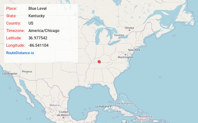
Full AddressBlue Level, KY 42274
-
Coordinates36.9775418, -86.5411036
-
LocationBlue Level , Kentucky , US
-
TimezoneAmerica/Chicago
-
Current Local Time5:59:52 AM America/ChicagoThursday, June 19, 2025
-
Page Views0
About Blue Level
Blue Level is an unincorporated community in Warren County, Kentucky, United States.
Nearby Places
Found 10 places within 50 miles

Bowling Green
3.4 mi
5.5 km
Bowling Green, KY
Get directions

Browning
4.3 mi
6.9 km
Browning, KY 42274
Get directions
Rockland
8.1 mi
13.0 km
Rockland, KY 42101
Get directions
Plum Springs
9.3 mi
15.0 km
Plum Springs, KY 42101
Get directions

Woodburn
9.4 mi
15.1 km
Woodburn, KY
Get directions
Bristow
10.4 mi
16.7 km
Bristow, KY 42103
Get directions

Auburn
12.2 mi
19.6 km
Auburn, KY 42206
Get directions
Dimple
13.1 mi
21.1 km
Dimple, KY 42261
Get directions
Greenhill
13.3 mi
21.4 km
Greenhill, KY 42103
Get directions
Sunnyside
13.4 mi
21.6 km
Sunnyside, KY 42101
Get directions
Location Links
Local Weather
Weather Information
Coming soon!
Location Map
Static map view of Blue Level, Kentucky
Browse Places by Distance
Places within specific distances from Blue Level
Short Distances
Long Distances
Click any distance to see all places within that range from Blue Level. Distances shown in miles (1 mile ≈ 1.61 kilometers).