Distance to Bluff Dale, Texas

Calculating Your Route
Just a moment while we process your request...
Location Information
-
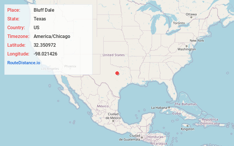
Full AddressBluff Dale, TX 76433
-
Coordinates32.3509718, -98.0214261
-
LocationBluff Dale , Texas , US
-
TimezoneAmerica/Chicago
-
Current Local Time12:29:59 PM America/ChicagoTuesday, June 24, 2025
-
Page Views0
About Bluff Dale
Bluff Dale is an unincorporated community and census designated place in Erath County, Texas, United States.
The Bluff Dale Independent School District serves area students.
Bluff Dale, Texas is on U.S. Highway 377 and the North Paluxy River in northeastern Erath County.


Nearby Places
Found 10 places within 50 miles

Tolar
6.4 mi
10.3 km
Tolar, TX 76476
Get directions

Lipan
11.7 mi
18.8 km
Lipan, TX 76462
Get directions

Stephenville
13.9 mi
22.4 km
Stephenville, TX 76401
Get directions

Granbury
15.1 mi
24.3 km
Granbury, TX
Get directions

Huckabay
16.2 mi
26.1 km
Huckabay, TX 76401
Get directions

Glen Rose
17.5 mi
28.2 km
Glen Rose, TX
Get directions

Brazos Bend
17.7 mi
28.5 km
Brazos Bend, TX
Get directions

Dennis
19.3 mi
31.1 km
Dennis, TX
Get directions

DeCordova
19.8 mi
31.9 km
DeCordova, TX 76049
Get directions

Pecan Plantation
20.2 mi
32.5 km
Pecan Plantation, TX 76049
Get directions
Location Links
Local Weather
Weather Information
Coming soon!
Location Map
Static map view of Bluff Dale, Texas
Browse Places by Distance
Places within specific distances from Bluff Dale
Short Distances
Long Distances
Click any distance to see all places within that range from Bluff Dale. Distances shown in miles (1 mile ≈ 1.61 kilometers).