Distance to Bodcaw, Arkansas

Calculating Your Route
Just a moment while we process your request...
Location Information
-
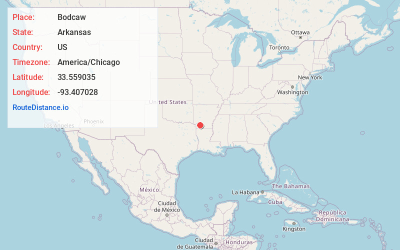
Full AddressBodcaw, AR 71858
-
Coordinates33.5590349, -93.4070282
-
LocationBodcaw , Arkansas , US
-
TimezoneAmerica/Chicago
-
Current Local Time4:28:00 PM America/ChicagoSaturday, June 28, 2025
-
Page Views0
About Bodcaw
Bodcaw is a town in Nevada County, Arkansas, United States. The population was 121 at the 2020 census. It is part of the Hope Micropolitan Statistical Area.
Nearby Places
Found 10 places within 50 miles

Willisville
6.9 mi
11.1 km
Willisville, AR
Get directions
Rosston
7.9 mi
12.7 km
Rosston, AR 71858
Get directions
Perrytown
12.0 mi
19.3 km
Perrytown, AR 71801
Get directions

Emmet
12.2 mi
19.6 km
Emmet, AR 71835
Get directions

Hope
13.3 mi
21.4 km
Hope, AR 71801
Get directions
Buckner
14.0 mi
22.5 km
Buckner, AR 71827
Get directions

Stamps
14.6 mi
23.5 km
Stamps, AR 71860
Get directions

Waldo
15.5 mi
24.9 km
Waldo, AR 71770
Get directions

Lewisville
16.9 mi
27.2 km
Lewisville, AR 71845
Get directions

Prescott
16.9 mi
27.2 km
Prescott, AR 71857
Get directions
Location Links
Local Weather
Weather Information
Coming soon!
Location Map
Static map view of Bodcaw, Arkansas
Browse Places by Distance
Places within specific distances from Bodcaw
Short Distances
Long Distances
Click any distance to see all places within that range from Bodcaw. Distances shown in miles (1 mile ≈ 1.61 kilometers).