Distance to Boggsville, Colorado

Calculating Your Route
Just a moment while we process your request...
Location Information
-
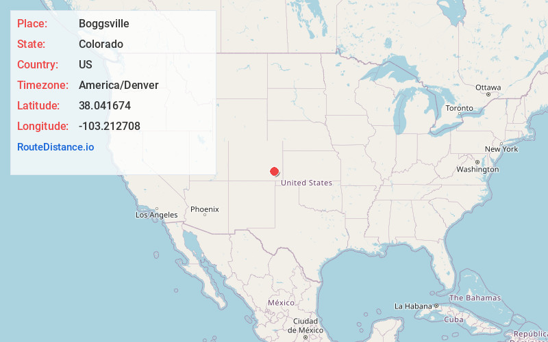
Full AddressBoggsville, CO 81054
-
Coordinates38.0416738, -103.2127079
-
LocationColorado , US
-
TimezoneAmerica/Denver
-
Current Local Time5:48:30 AM America/DenverSaturday, May 31, 2025
-
Page Views0
About Boggsville
Boggsville is an extinct town located in Bent County, Colorado, United States. The town was located near the Purgatoire River about 3 miles above the Purgatoire's confluence with the Arkansas River. It lies along Highway 101 about 2 miles south of Las Animas.
Nearby Places
Found 10 places within 50 miles

Las Animas
1.8 mi
2.9 km
Las Animas, CO 81054
Get directions

Keller
3.9 mi
6.3 km
Keller, CO 81054
Get directions
Kreybill
7.9 mi
12.7 km
Kreybill, CO 81054
Get directions

Cheraw
16.8 mi
27.0 km
Cheraw, CO
Get directions
North La Junta
17.6 mi
28.3 km
North La Junta, CO 81050
Get directions

La Junta
18.4 mi
29.6 km
La Junta, CO 81050
Get directions

Able
18.7 mi
30.1 km
Able, CO 81044
Get directions
Ruxton
20.6 mi
33.2 km
Ruxton, CO 81054
Get directions
McClave
20.8 mi
33.5 km
McClave, CO 81057
Get directions
Shelton
21.6 mi
34.8 km
Shelton, CO 81067
Get directions
Location Links
Local Weather
Weather Information
Coming soon!
Location Map
Static map view of Boggsville, Colorado
Browse Places by Distance
Places within specific distances from Boggsville
Short Distances
Long Distances
Click any distance to see all places within that range from Boggsville. Distances shown in miles (1 mile ≈ 1.61 kilometers).