Distance to Able, Colorado

Calculating Your Route
Just a moment while we process your request...
Location Information
-
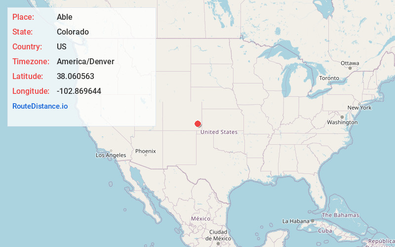
Full AddressAble, CO 81044
-
Coordinates38.0605633, -102.8696438
-
LocationAble , Colorado , US
-
TimezoneAmerica/Denver
-
Current Local Time3:37:01 PM America/DenverTuesday, June 17, 2025
-
Page Views0
About Able
Able is an extinct town located in Bent County, Colorado, United States. The townsite is located at 38.0606°N 102.8696°W at an elevation of 3,783 feet.

Nearby Places
Found 10 places within 50 miles

McClave
5.4 mi
8.7 km
McClave, CO 81057
Get directions

Wiley
10.4 mi
16.7 km
Wiley, CO 81092
Get directions

Lamar
13.7 mi
22.0 km
Lamar, CO 81052
Get directions
Culp
15.1 mi
24.3 km
Culp, CO 81052
Get directions

Las Animas
19.2 mi
30.9 km
Las Animas, CO 81054
Get directions

Eads
29.4 mi
47.3 km
Eads, CO 81036
Get directions
Granada
30.4 mi
48.9 km
Granada, CO 81041
Get directions

Haswell
31.4 mi
50.5 km
Haswell, CO
Get directions

Cheraw
35.0 mi
56.3 km
Cheraw, CO
Get directions
Ninaview
35.2 mi
56.6 km
Ninaview, CO 81054
Get directions
Location Links
Local Weather
Weather Information
Coming soon!
Location Map
Static map view of Able, Colorado
Browse Places by Distance
Places within specific distances from Able
Short Distances
Long Distances
Click any distance to see all places within that range from Able. Distances shown in miles (1 mile ≈ 1.61 kilometers).