Distance to Boght Corners, New York

Calculating Your Route
Just a moment while we process your request...
Location Information
-
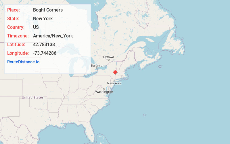
Full AddressBoght Corners, NY 12047
-
Coordinates42.7831333, -73.7442862
-
LocationBoght Corners , New York , US
-
TimezoneAmerica/New_York
-
Current Local Time1:54:38 PM America/New_YorkSaturday, June 7, 2025
-
Page Views0
About Boght Corners
Boght Corners is a hamlet in the town of Colonie in northern Albany County, New York, United States, that straddles U.S. Route 9. The corners that give the hamlet its name are found at the intersection of Route 9 and Boght Road, near the Boght Community Fire District's station.


Nearby Places
Found 10 places within 50 miles

Dunsbach Ferry
0.9 mi
1.4 km
Dunsbach Ferry, NY 12047
Get directions
Crescent Station
1.2 mi
1.9 km
Crescent Station, Colonie, NY 12047
Get directions
Halfmoon Beach
1.5 mi
2.4 km
Halfmoon Beach, Halfmoon, NY 12065
Get directions
Mohawk View
2.2 mi
3.5 km
Mohawk View, Colonie, NY 12110
Get directions

Waterford
3.3 mi
5.3 km
Waterford, NY 12188
Get directions
Verdoy
3.3 mi
5.3 km
Verdoy, NY 12110
Get directions

Green Island
3.8 mi
6.1 km
Green Island, NY
Get directions
Pleasantdale
4.0 mi
6.4 km
Pleasantdale, NY 12182
Get directions

Watervliet
4.3 mi
6.9 km
Watervliet, NY
Get directions

Vischer Ferry
4.4 mi
7.1 km
Vischer Ferry, NY 12148
Get directions
Location Links
Local Weather
Weather Information
Coming soon!
Location Map
Static map view of Boght Corners, New York
Browse Places by Distance
Places within specific distances from Boght Corners
Short Distances
Long Distances
Click any distance to see all places within that range from Boght Corners. Distances shown in miles (1 mile ≈ 1.61 kilometers).