Distance to Bogota, New Jersey

Calculating Your Route
Just a moment while we process your request...
Location Information
-
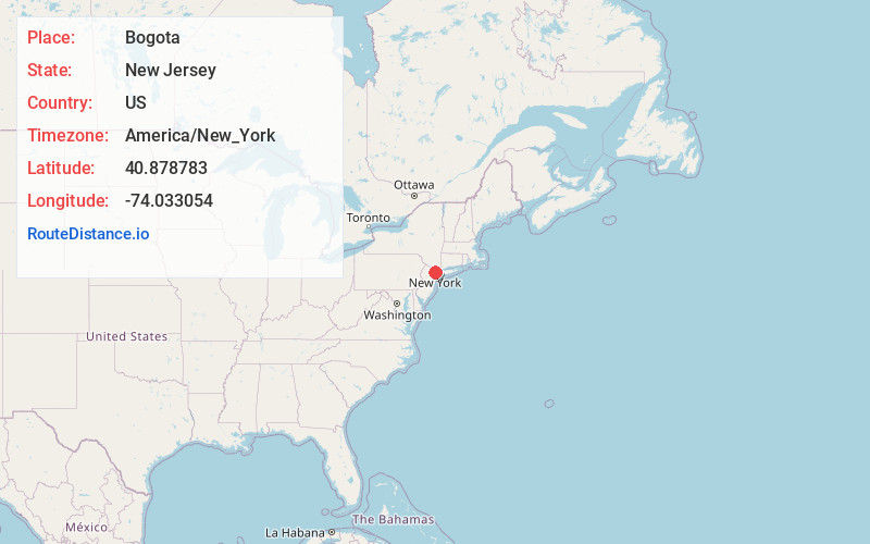
Full AddressBogota, NJ
-
Coordinates40.8787827, -74.033054
-
LocationBogota , New Jersey , US
-
TimezoneAmerica/New_York
-
Current Local Time5:22:08 AM America/New_YorkWednesday, June 18, 2025
-
Website
-
Page Views0
About Bogota
Bogota is a borough in Bergen County, in the U.S. state of New Jersey. As of the 2020 United States census, the borough's population was 8,778, an increase of 591 from the 2010 census count of 8,187, which in turn reflected a decline of 62 from the 8,249 counted in the 2000 census.


Nearby Places
Found 10 places within 50 miles

Hackensack
1.0 mi
1.6 km
Hackensack, NJ
Get directions

Teaneck
1.4 mi
2.3 km
Teaneck, NJ
Get directions

Little Ferry
1.8 mi
2.9 km
Little Ferry, NJ 07643
Get directions

Ridgefield Park
1.8 mi
2.9 km
Ridgefield Park, NJ
Get directions

Maywood
2.2 mi
3.5 km
Maywood, NJ
Get directions

Leonia
2.6 mi
4.2 km
Leonia, NJ
Get directions

Lodi
2.7 mi
4.3 km
Lodi, NJ 07644
Get directions

Englewood
3.2 mi
5.1 km
Englewood, NJ 07631
Get directions

Wood-Ridge
3.4 mi
5.5 km
Wood-Ridge, NJ
Get directions

Saddle Brook
3.5 mi
5.6 km
Saddle Brook, NJ
Get directions
Location Links
Local Weather
Weather Information
Coming soon!
Location Map
Static map view of Bogota, New Jersey
Browse Places by Distance
Places within specific distances from Bogota
Short Distances
Long Distances
Click any distance to see all places within that range from Bogota. Distances shown in miles (1 mile ≈ 1.61 kilometers).