Distance to Hackensack, New Jersey

Calculating Your Route
Just a moment while we process your request...
Location Information
-
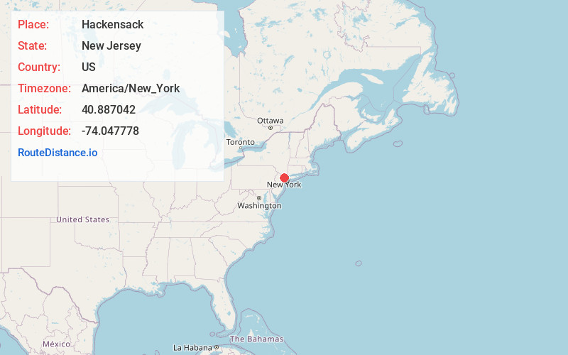
Full AddressHackensack, NJ
-
Coordinates40.887042, -74.047778
-
LocationHackensack , New Jersey , US
-
TimezoneAmerica/New_York
-
Current Local Time5:23:33 AM America/New_YorkWednesday, June 18, 2025
-
Website
-
Page Views0
About Hackensack
Hackensack is the most populous municipality and the county seat of Bergen County, in the U.S. state of New Jersey. The area was officially named New Barbadoes Township until 1921, but has informally been known as Hackensack since at least the 18th century.


Nearby Places
Found 10 places within 50 miles

Passaic
4.7 mi
7.6 km
Passaic, NJ
Get directions

Clifton
6.1 mi
9.8 km
Clifton, NJ
Get directions

Paterson
6.9 mi
11.1 km
Paterson, NJ
Get directions

West New York
7.0 mi
11.3 km
West New York, NJ 07093
Get directions

North Bergen
7.1 mi
11.4 km
North Bergen, NJ
Get directions

Union City
7.8 mi
12.6 km
Union City, NJ
Get directions

Yonkers
8.4 mi
13.5 km
Yonkers, NY
Get directions

Bloomfield
9.0 mi
14.5 km
Bloomfield, NJ
Get directions

Bronx
10.0 mi
16.1 km
Bronx, NY
Get directions

Hoboken
10.4 mi
16.7 km
Hoboken, NJ
Get directions
Location Links
Local Weather
Weather Information
Coming soon!
Location Map
Static map view of Hackensack, New Jersey
Browse Places by Distance
Places within specific distances from Hackensack
Short Distances
Long Distances
Click any distance to see all places within that range from Hackensack. Distances shown in miles (1 mile ≈ 1.61 kilometers).