Distance to and from Englewood, New Jersey
Englewood, NJ 07631
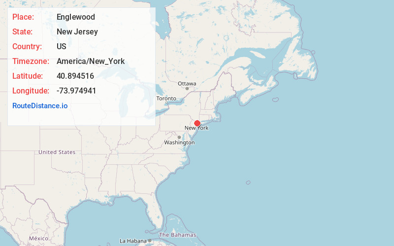
Englewood
New Jersey
US
America/New_York
Location Information
-
Full AddressEnglewood, NJ 07631
-
Coordinates40.8945161, -73.9749414
-
LocationEnglewood , New Jersey , US
-
TimezoneAmerica/New_York
-
Current Local Time2:49:03 AM America/New_YorkSunday, May 4, 2025
-
Website
-
Page Views0
Directions to Nearest Cities
About Englewood
Englewood is a city in Bergen County, in the U.S. state of New Jersey. Englewood was incorporated as a city by an act of the New Jersey Legislature on March 17, 1899, from portions of Ridgefield Township and the remaining portions of Englewood Township.


Nearby Places
Found 10 places within 50 miles

Teaneck
1.9 mi
3.1 km
Teaneck, NJ
Get directions

Bergenfield
2.6 mi
4.2 km
Bergenfield, NJ
Get directions

Fort Lee
2.9 mi
4.7 km
Fort Lee, NJ
Get directions

Hackensack
3.8 mi
6.1 km
Hackensack, NJ
Get directions

Yonkers
4.7 mi
7.6 km
Yonkers, NY
Get directions

Bronx
6.7 mi
10.8 km
Bronx, NY
Get directions

Garfield
7.0 mi
11.3 km
Garfield, NJ
Get directions

Mt Vernon
7.3 mi
11.7 km
Mt Vernon, NY
Get directions

West New York
7.6 mi
12.2 km
West New York, NJ 07093
Get directions

North Bergen
8.2 mi
13.2 km
North Bergen, NJ
Get directions
Teaneck
1.9 mi
3.1 km
Teaneck, NJ
Bergenfield
2.6 mi
4.2 km
Bergenfield, NJ
Fort Lee
2.9 mi
4.7 km
Fort Lee, NJ
Hackensack
3.8 mi
6.1 km
Hackensack, NJ
Yonkers
4.7 mi
7.6 km
Yonkers, NY
Bronx
6.7 mi
10.8 km
Bronx, NY
Garfield
7.0 mi
11.3 km
Garfield, NJ
Mt Vernon
7.3 mi
11.7 km
Mt Vernon, NY
West New York
7.6 mi
12.2 km
West New York, NJ 07093
North Bergen
8.2 mi
13.2 km
North Bergen, NJ
Location Links
Local Weather
Weather Information
Coming soon!
Location Map
Static map view of Englewood, New Jersey
Browse Places by Distance
Places within specific distances from Englewood
Short Distances
Long Distances
Click any distance to see all places within that range from Englewood. Distances shown in miles (1 mile ≈ 1.61 kilometers).