Distance to and from Fort Lee, New Jersey
Fort Lee, NJ
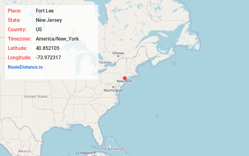
Fort Lee
New Jersey
US
America/New_York
Location Information
-
Full AddressFort Lee, NJ
-
Coordinates40.8521052, -73.9723174
-
LocationFort Lee , New Jersey , US
-
TimezoneAmerica/New_York
-
Current Local Time9:35:49 AM America/New_YorkSaturday, May 3, 2025
-
Website
-
Page Views0
Directions to Nearest Cities
About Fort Lee
Fort Lee is a borough at the eastern border of Bergen County, in the U.S. state of New Jersey, situated along the Hudson River atop The Palisades.


Nearby Places
Found 10 places within 50 miles

Hackensack
4.6 mi
7.4 km
Hackensack, NJ
Get directions

West New York
4.9 mi
7.9 km
West New York, NJ 07093
Get directions

North Bergen
5.6 mi
9.0 km
North Bergen, NJ
Get directions

Bronx
5.6 mi
9.0 km
Bronx, NY
Get directions

Union City
6.2 mi
10.0 km
Union City, NJ
Get directions

Yonkers
6.7 mi
10.8 km
Yonkers, NY
Get directions

Passaic
8.2 mi
13.2 km
Passaic, NJ
Get directions

Mt Vernon
8.2 mi
13.2 km
Mt Vernon, NY
Get directions

Hoboken
8.5 mi
13.7 km
Hoboken, NJ
Get directions

New York
9.8 mi
15.8 km
New York, NY
Get directions
Hackensack
4.6 mi
7.4 km
Hackensack, NJ
West New York
4.9 mi
7.9 km
West New York, NJ 07093
North Bergen
5.6 mi
9.0 km
North Bergen, NJ
Bronx
5.6 mi
9.0 km
Bronx, NY
Union City
6.2 mi
10.0 km
Union City, NJ
Yonkers
6.7 mi
10.8 km
Yonkers, NY
Passaic
8.2 mi
13.2 km
Passaic, NJ
Mt Vernon
8.2 mi
13.2 km
Mt Vernon, NY
Hoboken
8.5 mi
13.7 km
Hoboken, NJ
New York
9.8 mi
15.8 km
New York, NY
Location Links
Local Weather
Weather Information
Coming soon!
Location Map
Static map view of Fort Lee, New Jersey
Browse Places by Distance
Places within specific distances from Fort Lee
Short Distances
Long Distances
Click any distance to see all places within that range from Fort Lee. Distances shown in miles (1 mile ≈ 1.61 kilometers).