Distance to Bohemia Township, Michigan

Calculating Your Route
Just a moment while we process your request...
Location Information
-
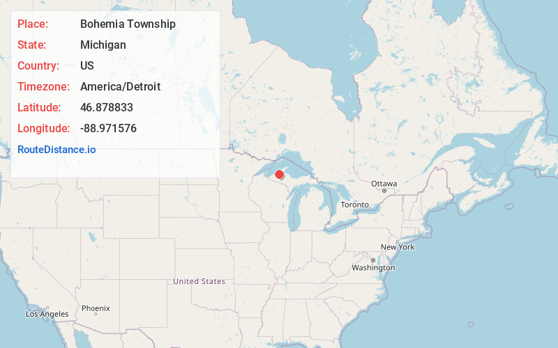
Full AddressBohemia Township, MI
-
Coordinates46.8788327, -88.9715763
-
LocationBohemia Township , Michigan , US
-
TimezoneAmerica/Detroit
-
Current Local Time9:50:57 PM America/DetroitSaturday, June 21, 2025
-
Page Views0
About Bohemia Township
Bohemia Township is a civil township of Ontonagon County in the U.S. state of Michigan. As of the 2020 census, the population was 75.
The Simar Landing Strip is located in Bohemia Township at Latitude 46° 45' 54" N, Longitude 88° 57' 28" W.
Nearby Places
Found 10 places within 50 miles

Winona
3.0 mi
4.8 km
Winona, MI 49965
Get directions
Lake Roland
5.1 mi
8.2 km
Lake Roland, MI 49965
Get directions

Elm River Township
6.9 mi
11.1 km
Elm River Township, MI
Get directions

Firesteel River
7.6 mi
12.2 km
Firesteel River, Michigan 49953
Get directions

Lake Mine
8.0 mi
12.9 km
Lake Mine, MI 49948
Get directions

Greenland
9.2 mi
14.8 km
Greenland, MI
Get directions
Donken
9.4 mi
15.1 km
Donken, MI 49965
Get directions

Mass City
9.6 mi
15.4 km
Mass City, MI 49948
Get directions
McKeever
10.0 mi
16.1 km
McKeever, MI 49948
Get directions
White
10.3 mi
16.6 km
White, MI 49952
Get directions
Location Links
Local Weather
Weather Information
Coming soon!
Location Map
Static map view of Bohemia Township, Michigan
Browse Places by Distance
Places within specific distances from Bohemia Township
Short Distances
Long Distances
Click any distance to see all places within that range from Bohemia Township. Distances shown in miles (1 mile ≈ 1.61 kilometers).